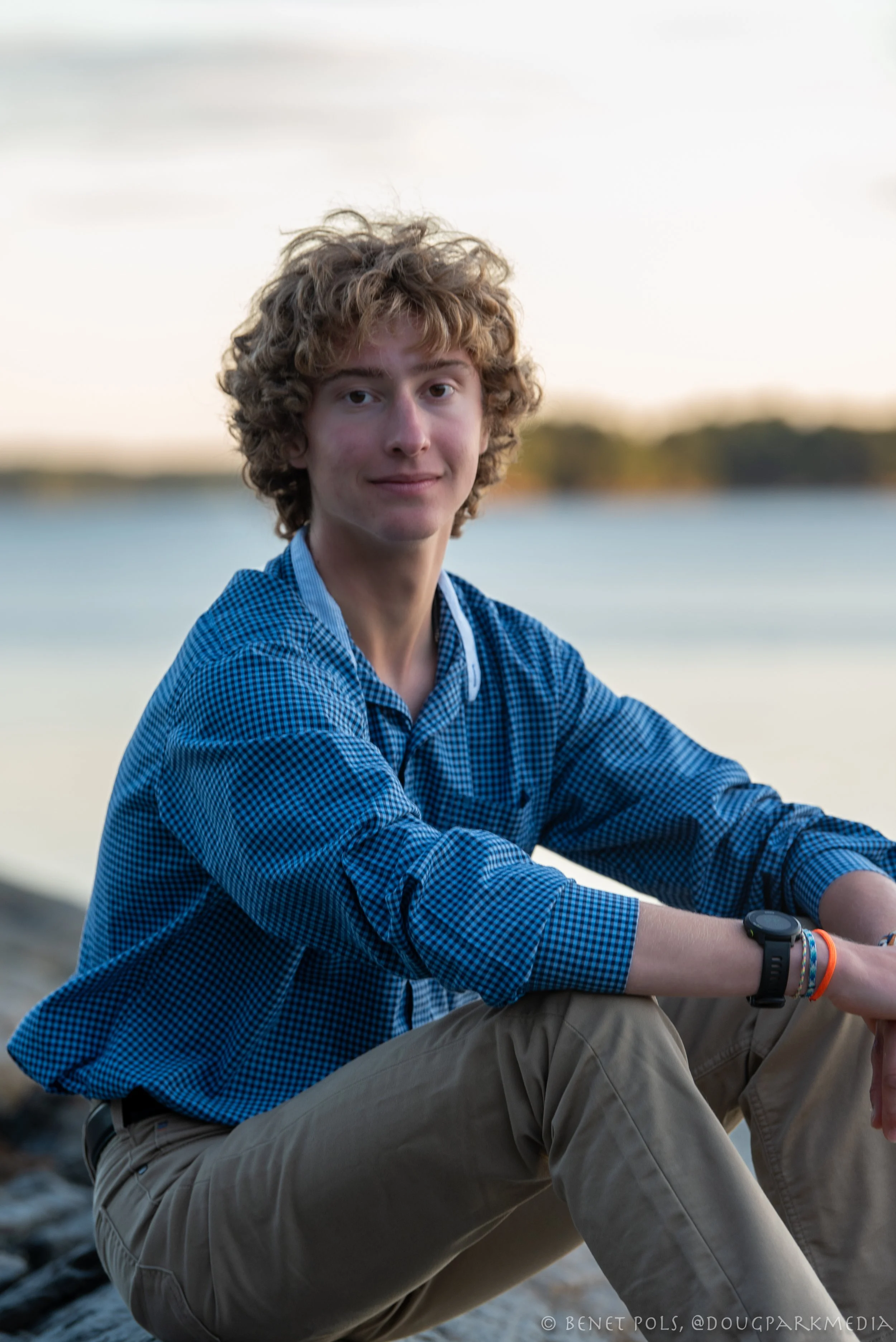
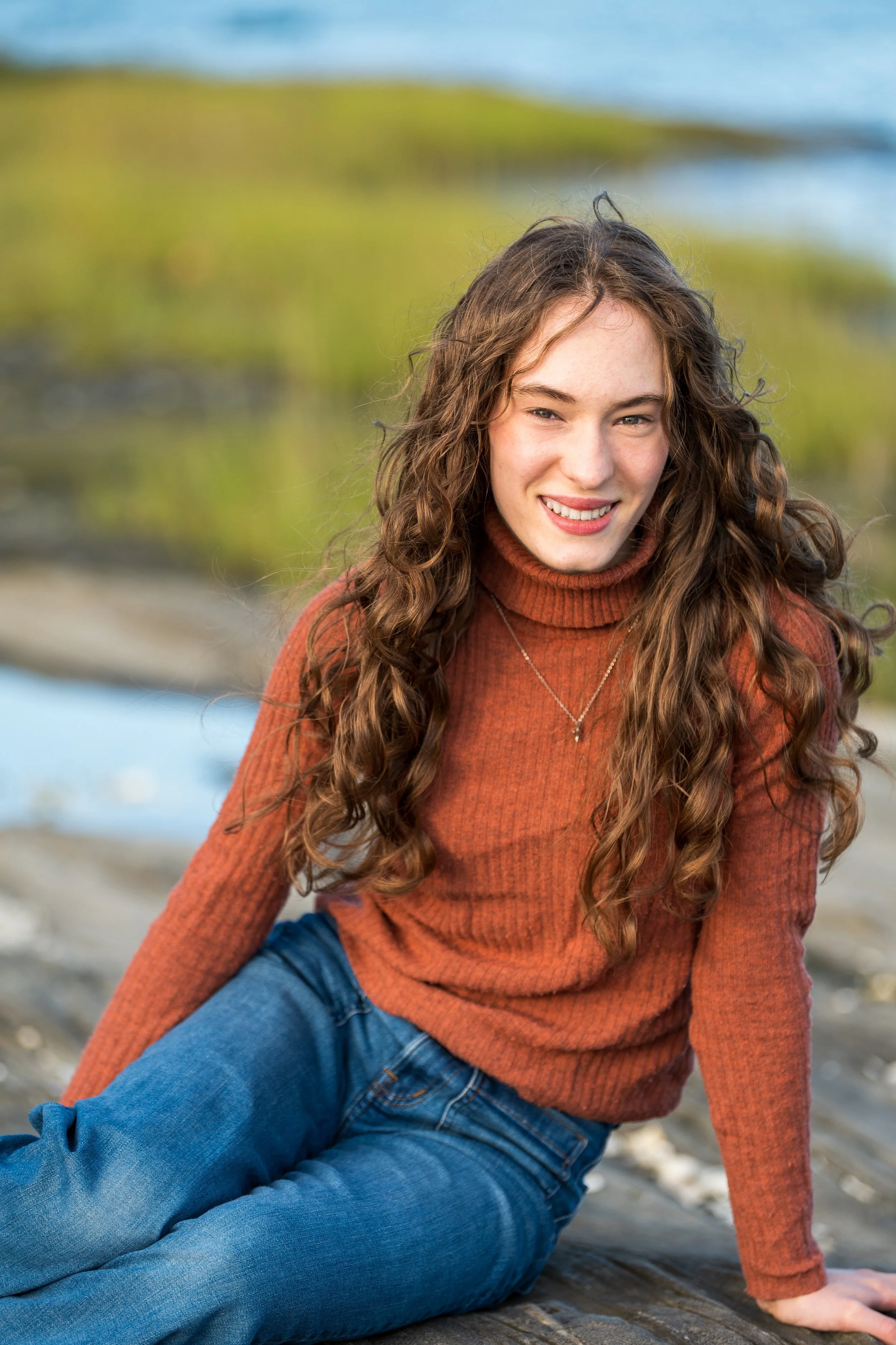
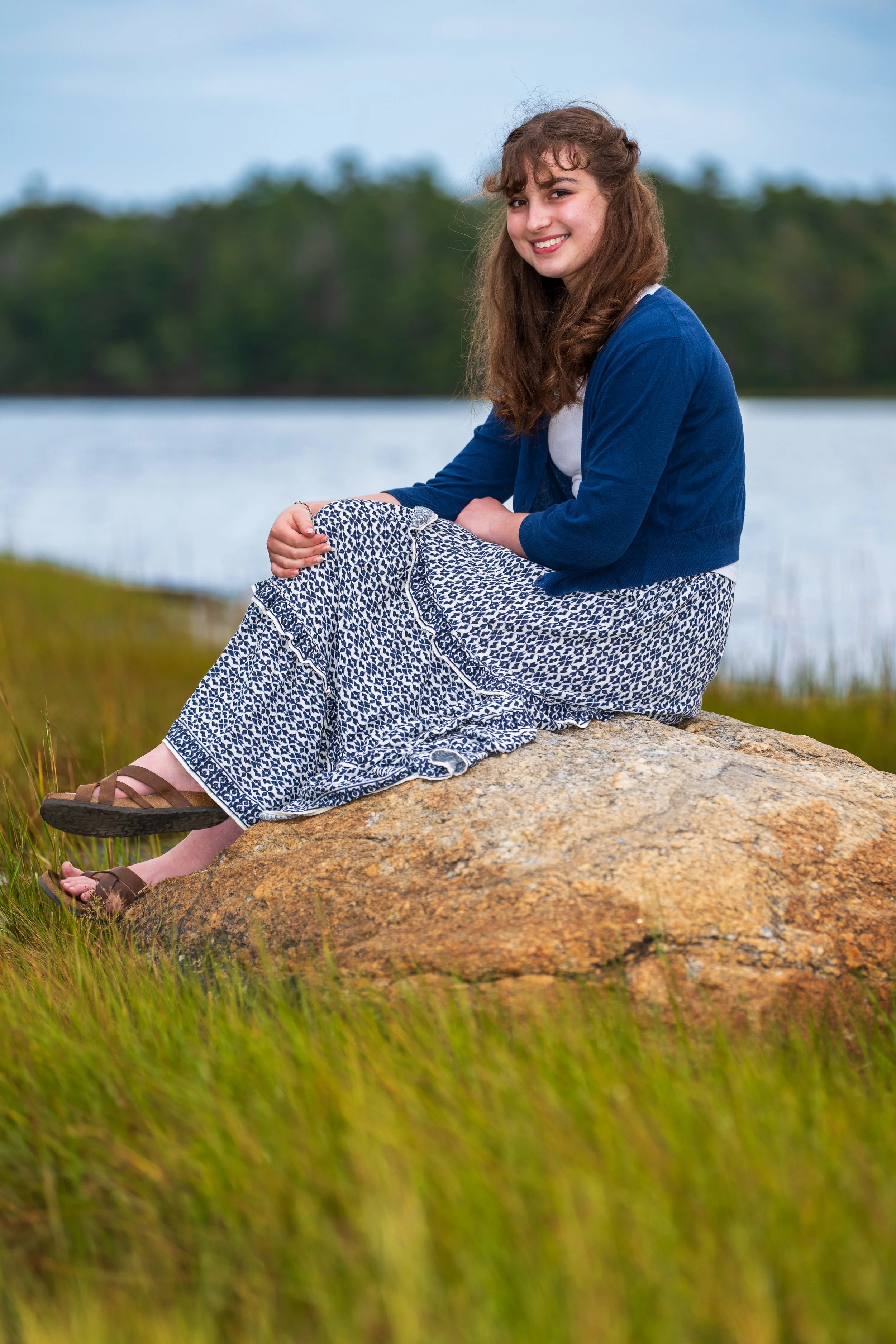
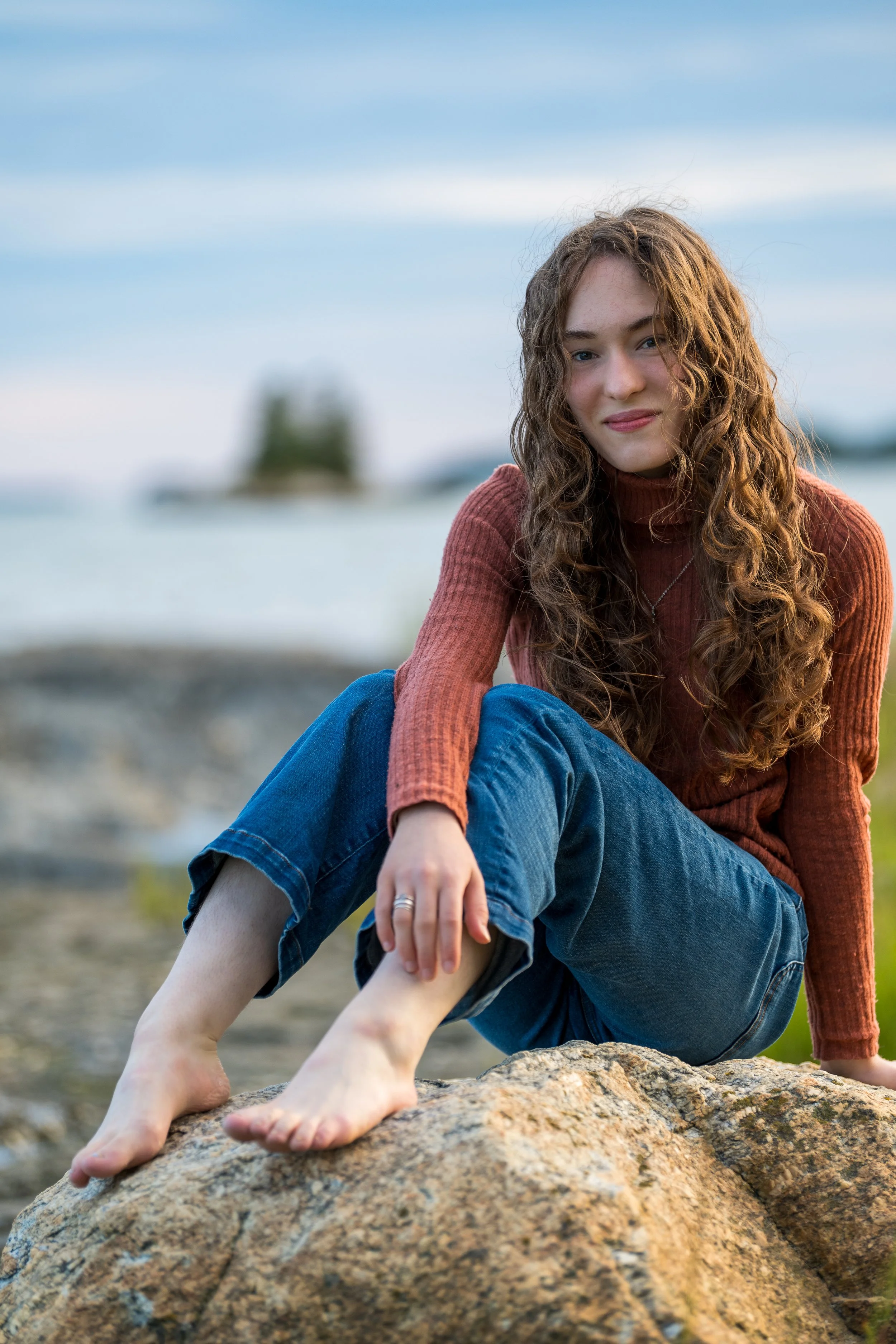
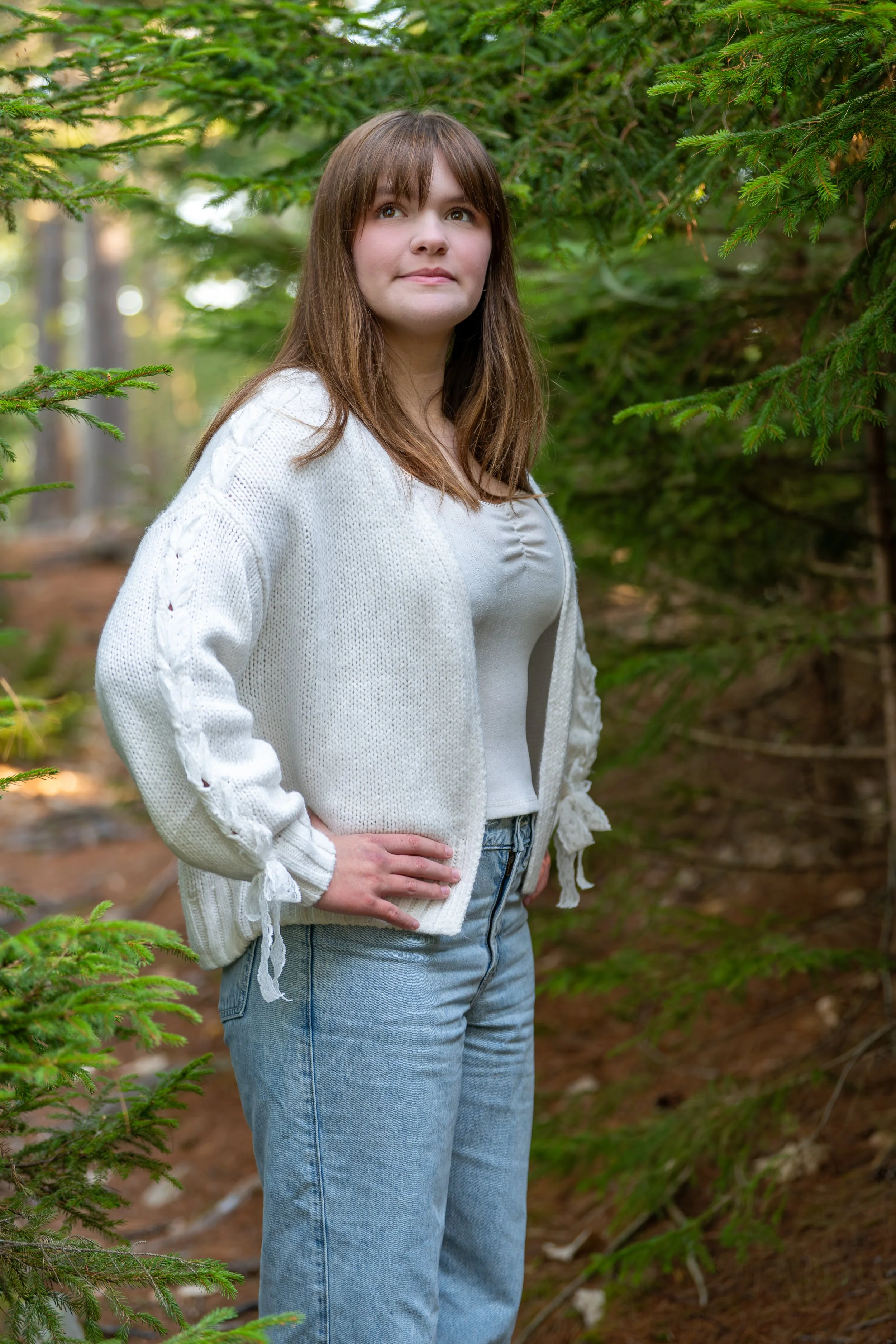
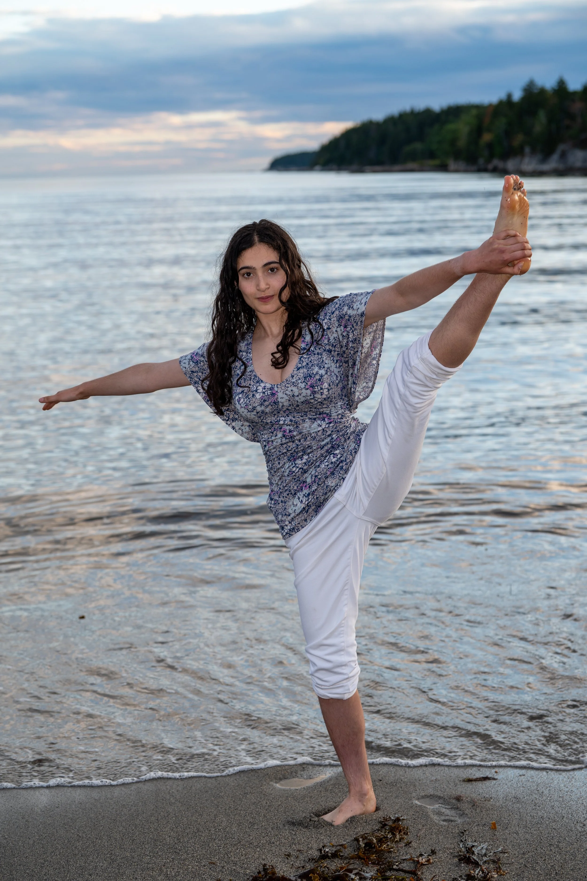
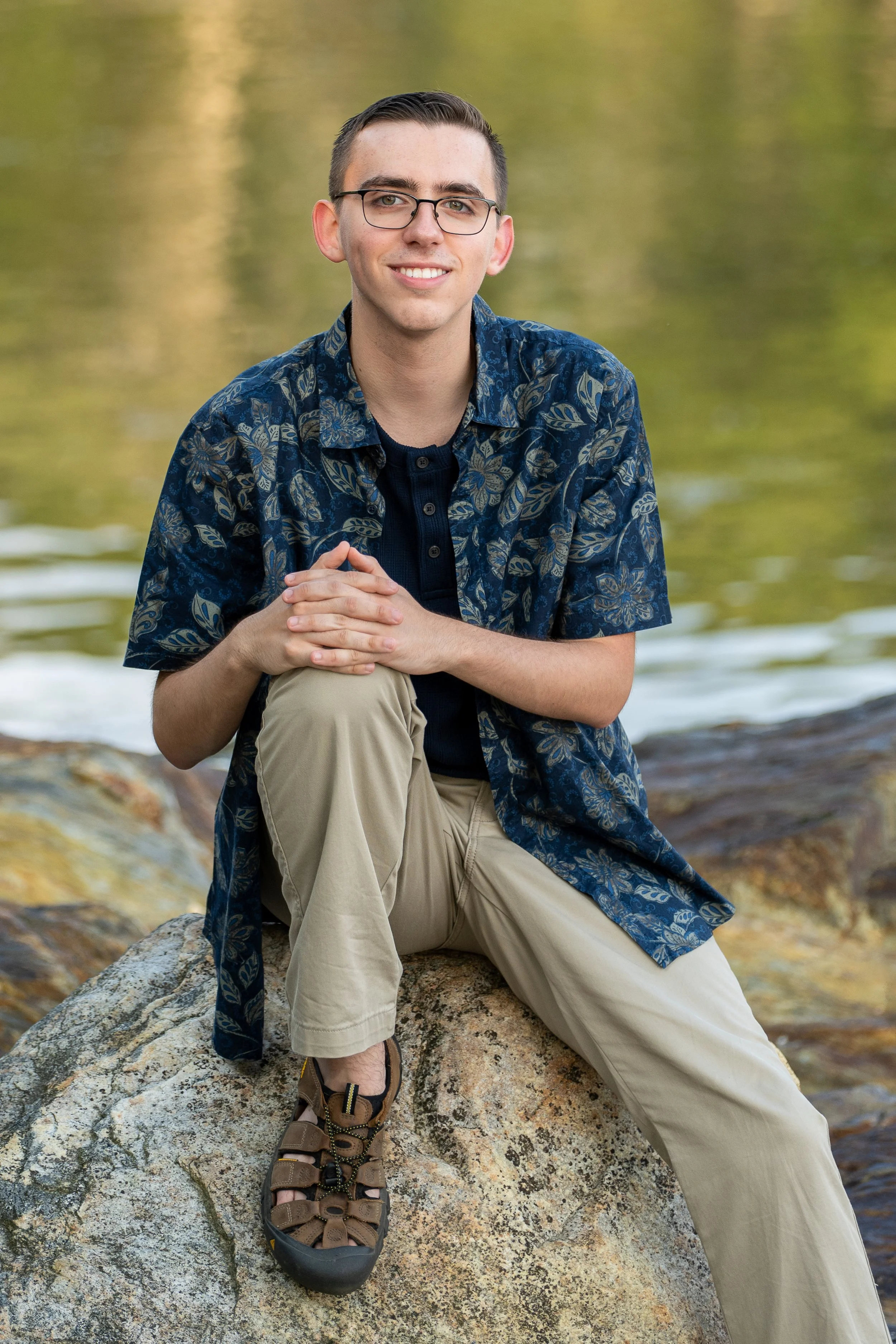
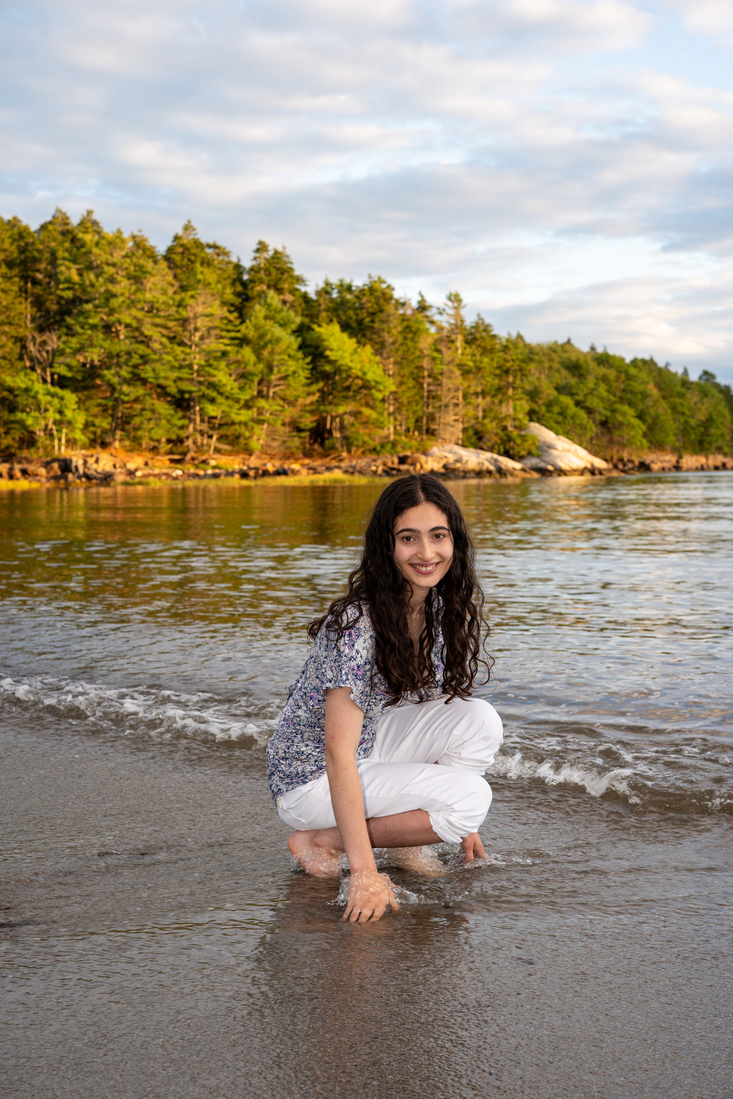
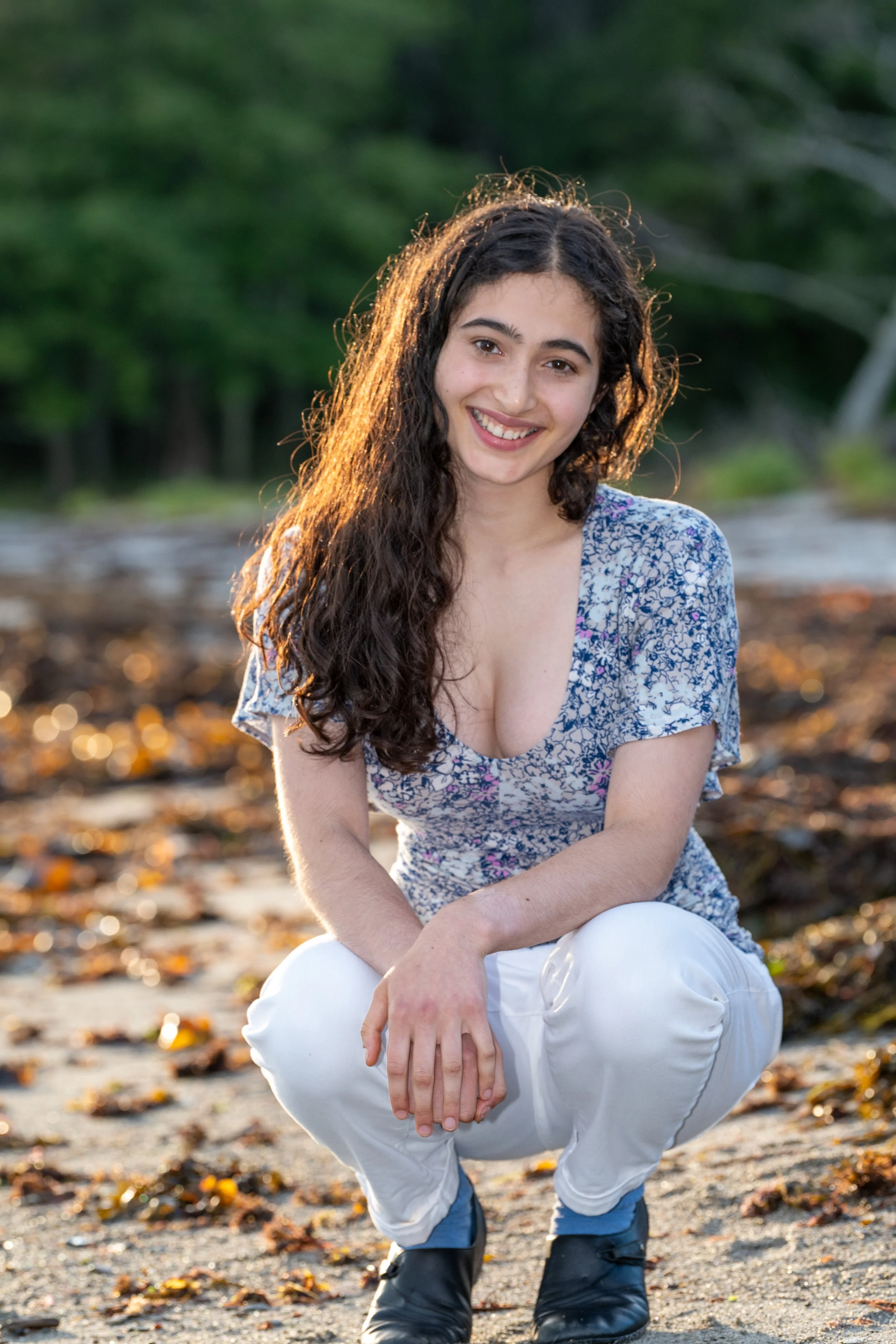
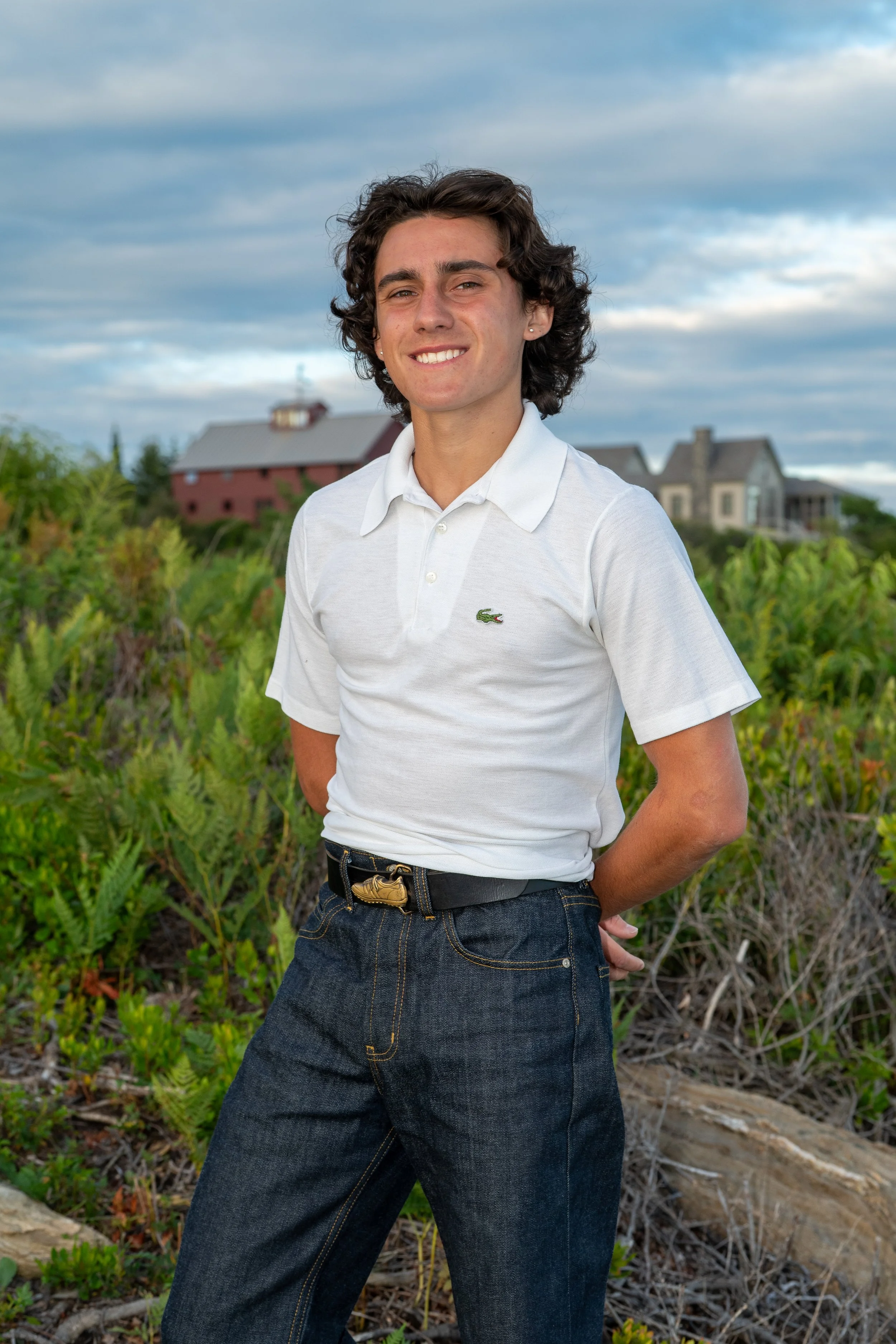
Here are just a few options. More ideas are added periodically.
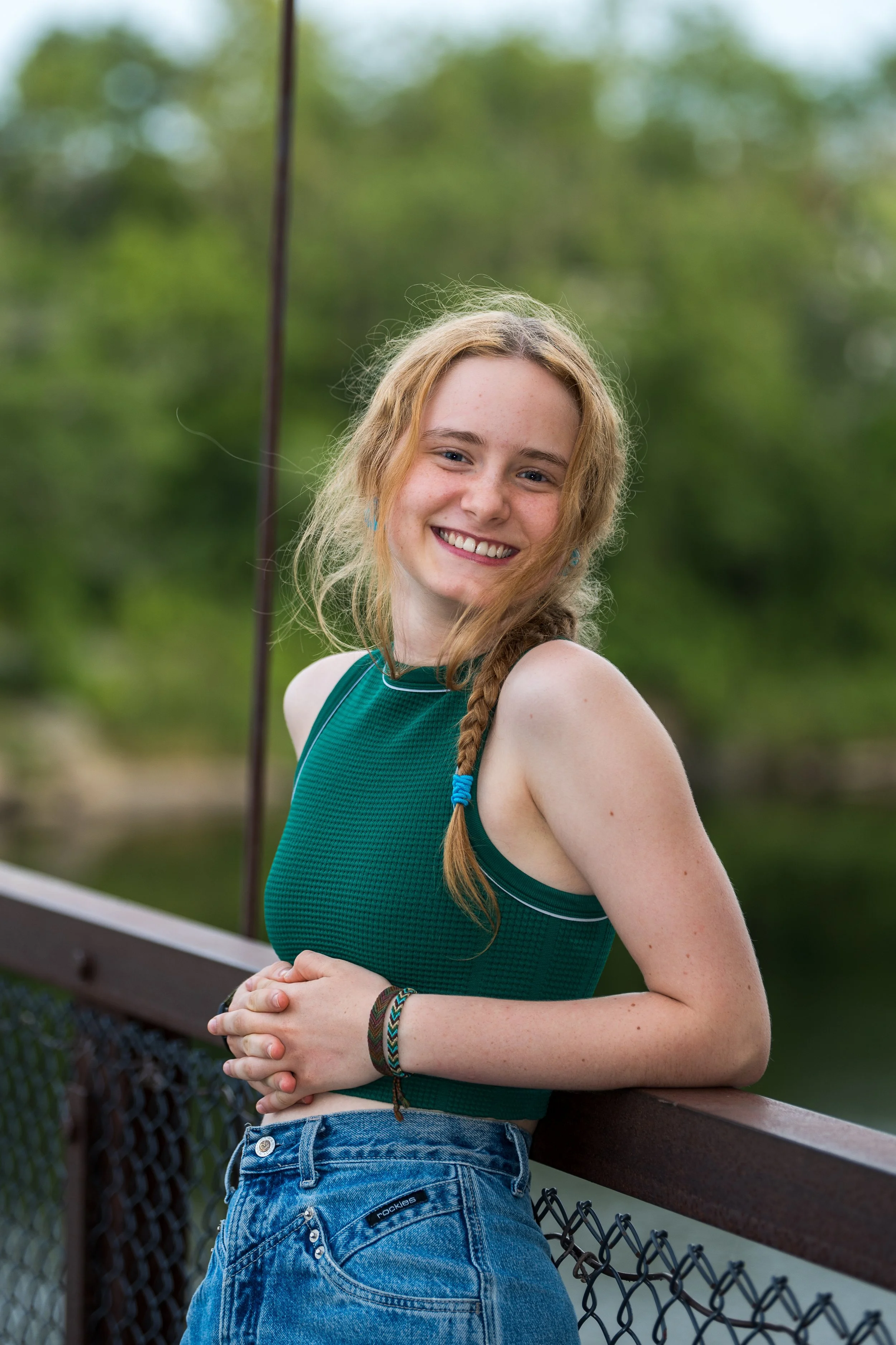
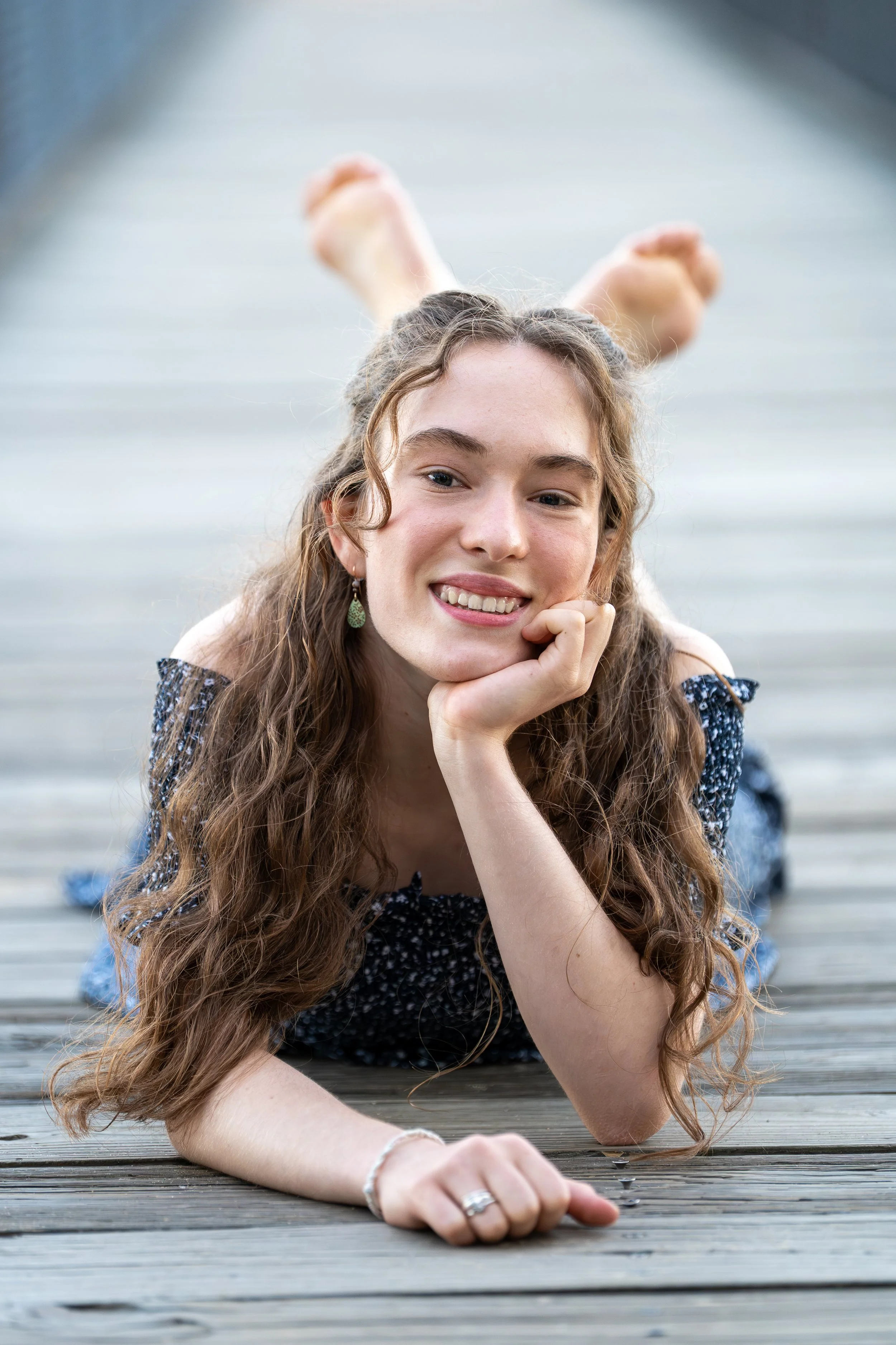
Down by the River, Connecting Brunswick and Topsham
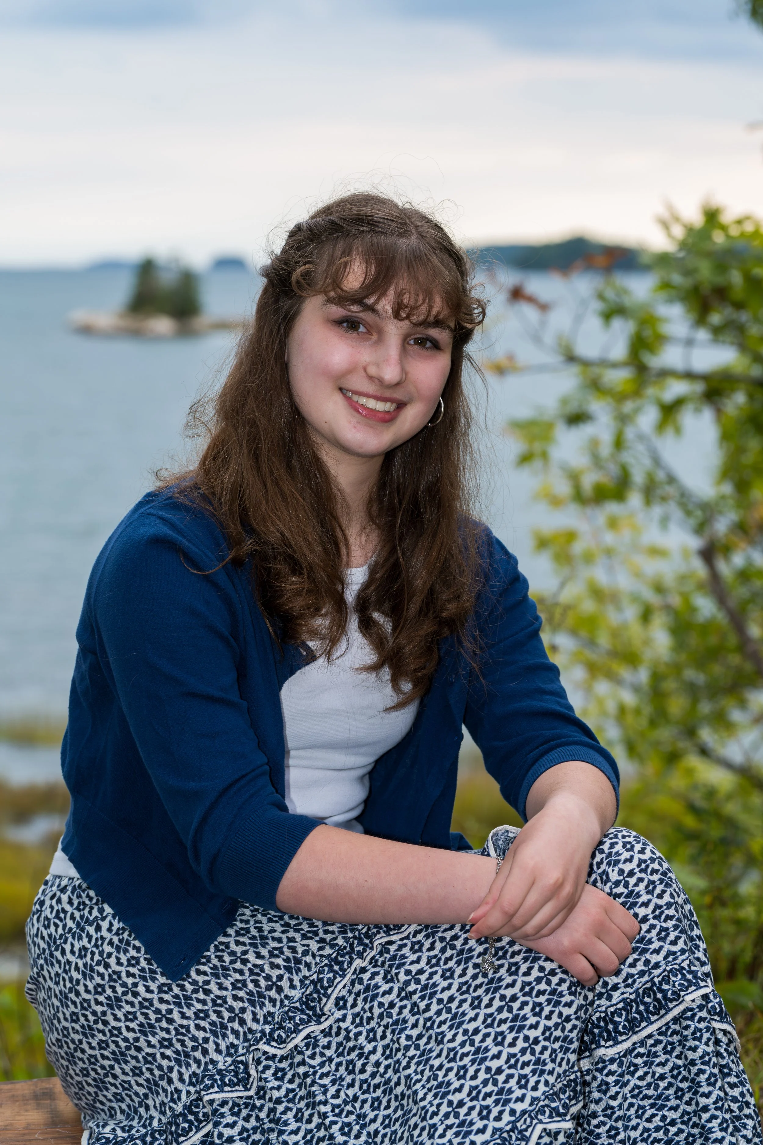
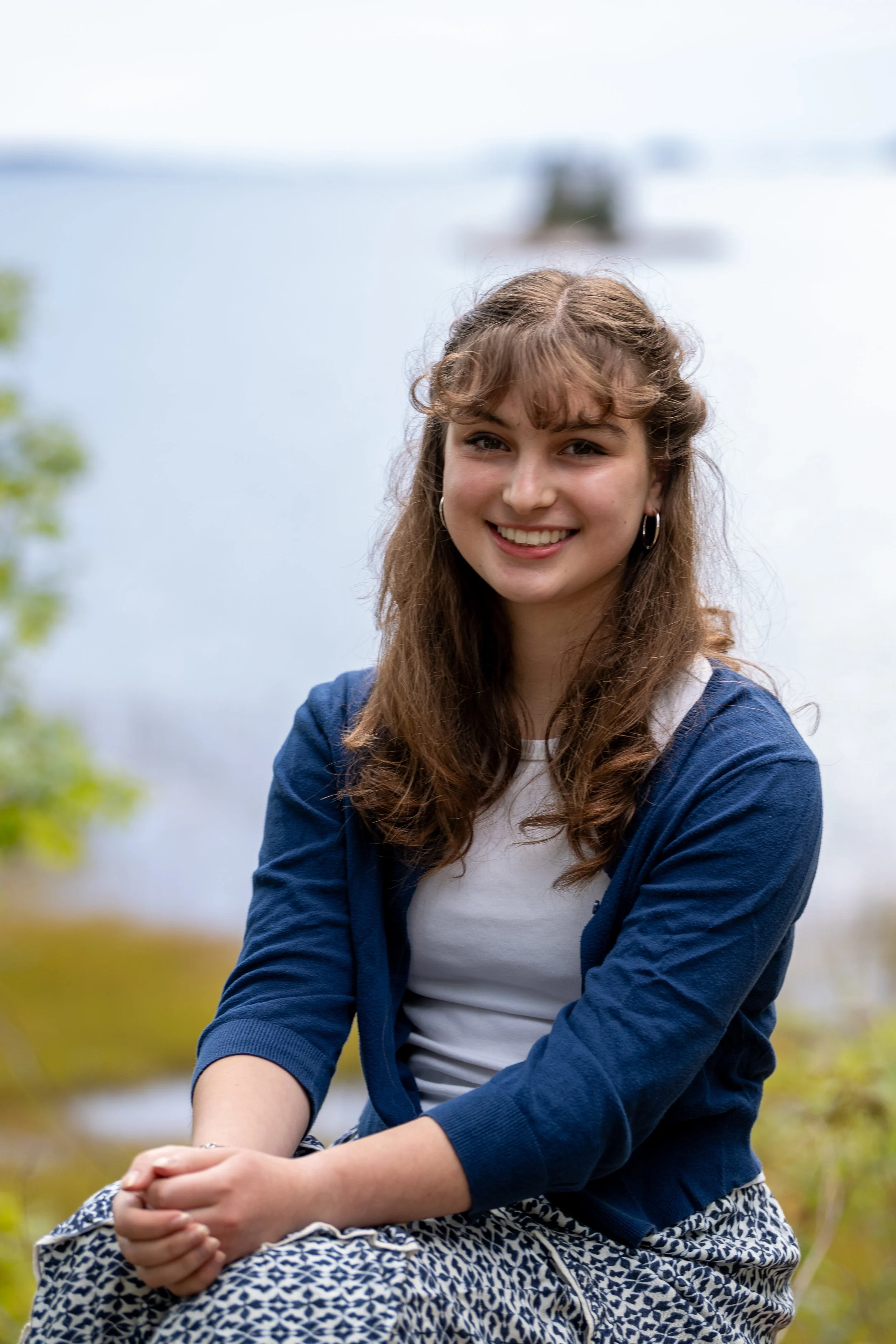
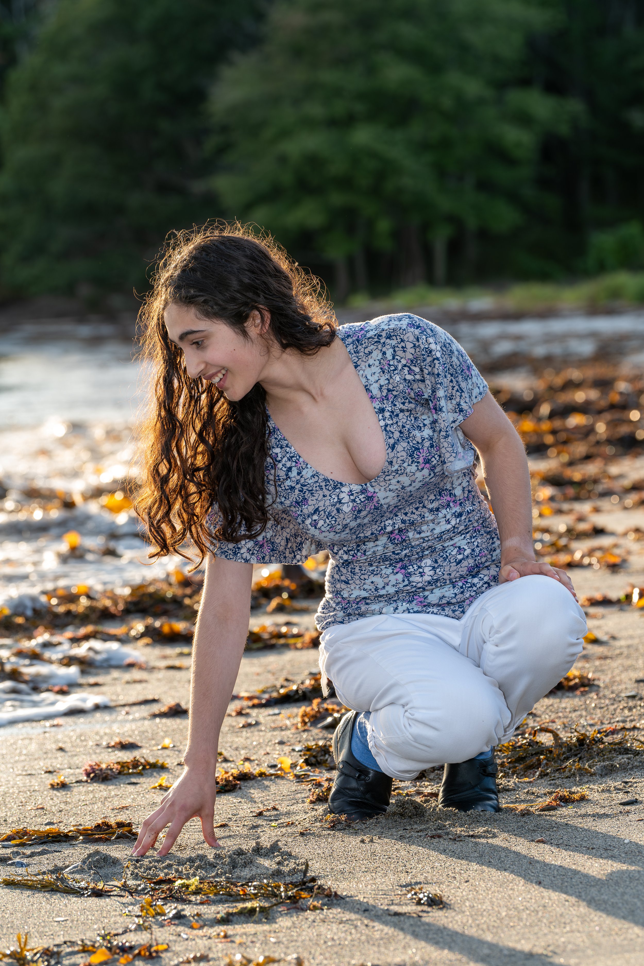
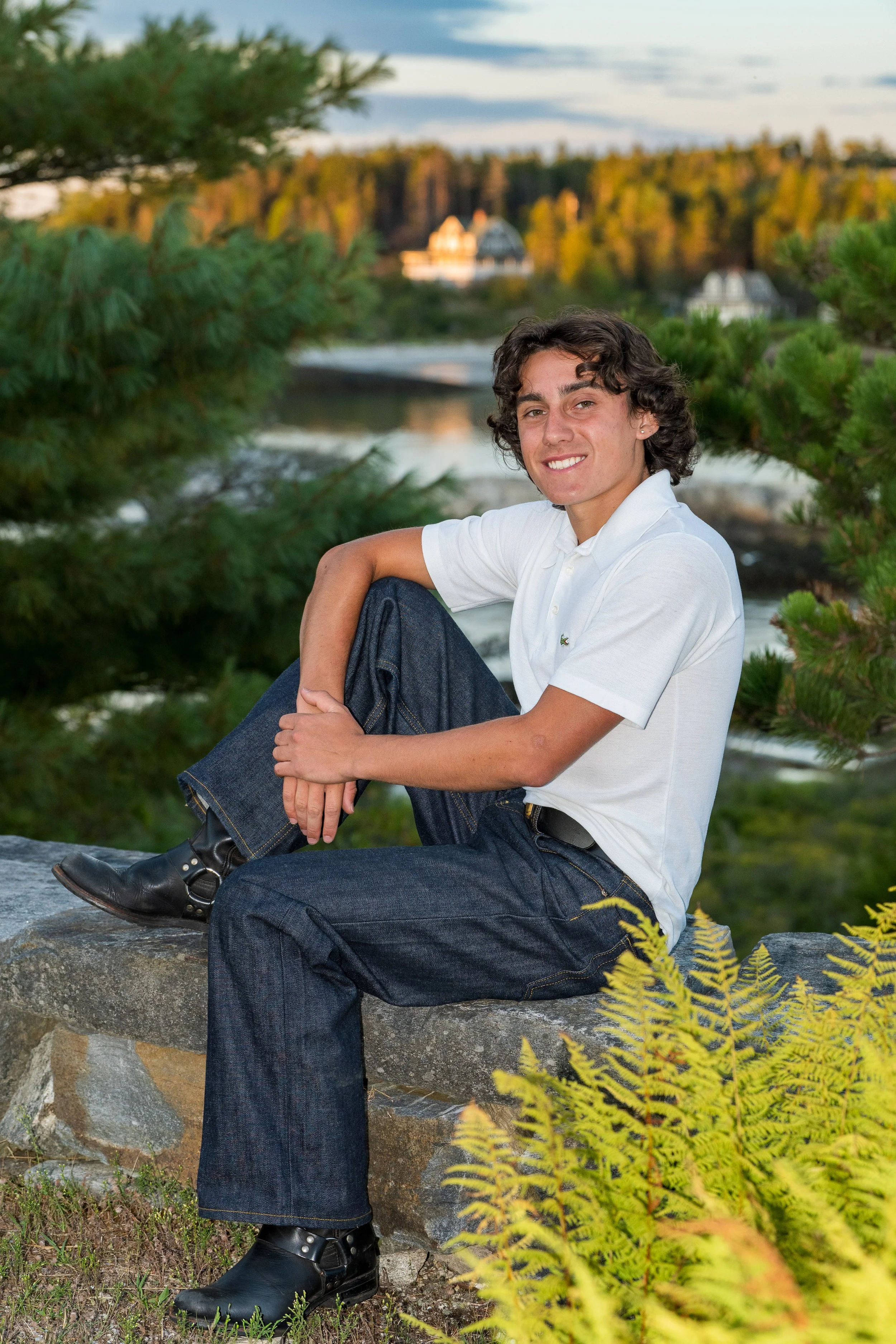
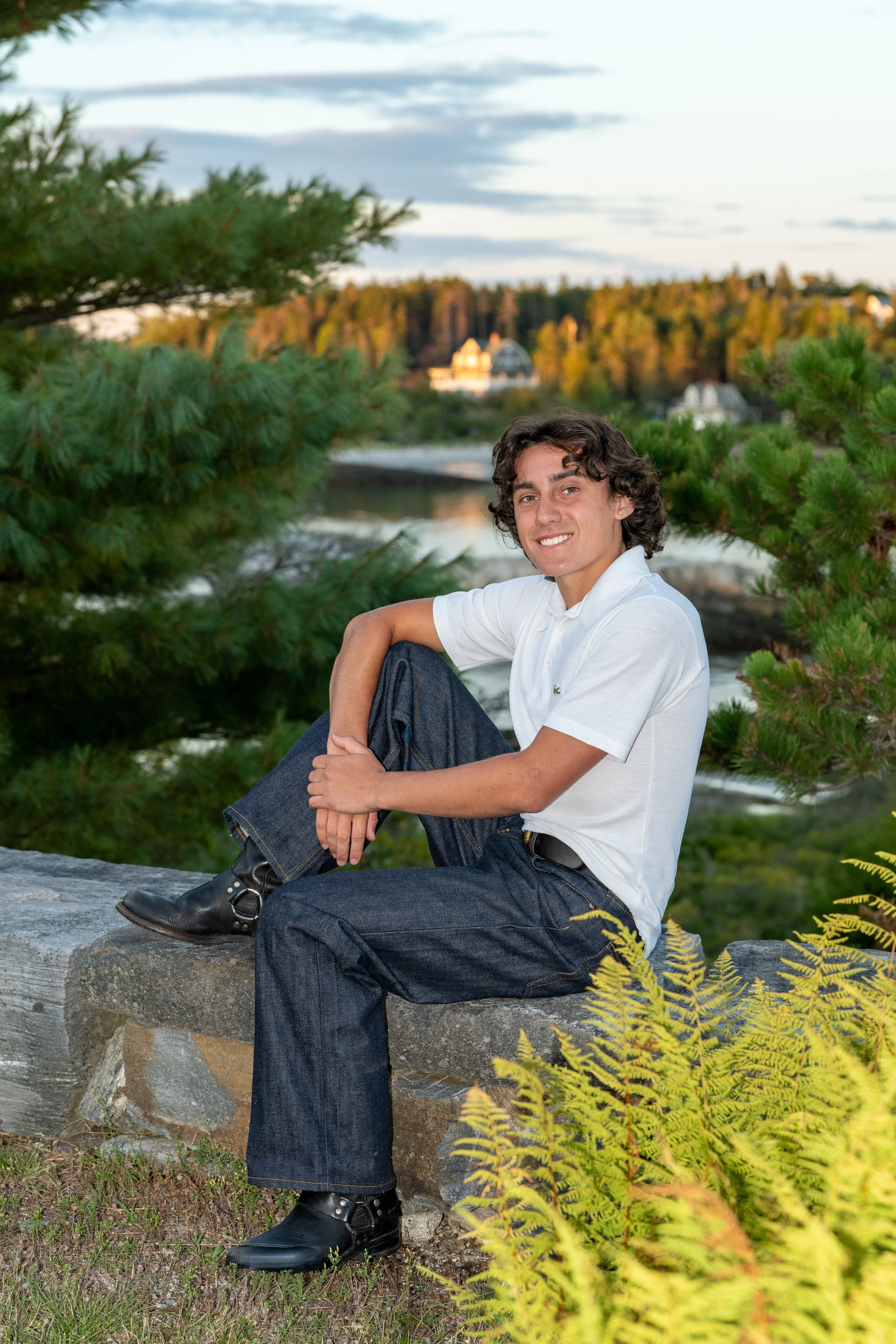
Down by the Androscoggin River with just a pivot or short walk you can change the scene from a bucolic natural backdrop to the gritty urban backdrop of a mill building, a hydroelectric dam, or an active construction scene. It offers several historic architectural backdrops. Here you can get it all: natural beauty, architectural beauty and history, local icons, urban grit, and the working waterfront.
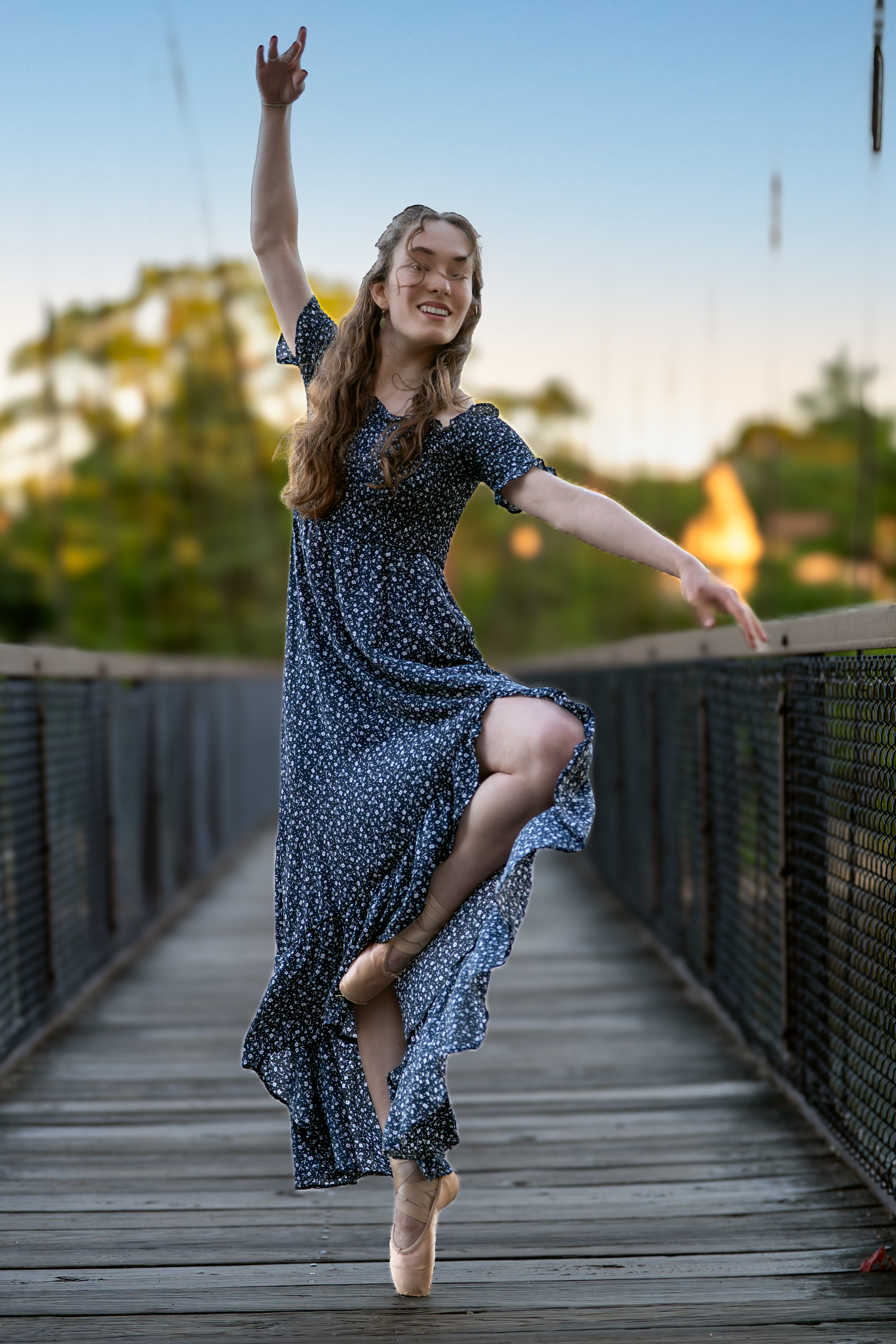
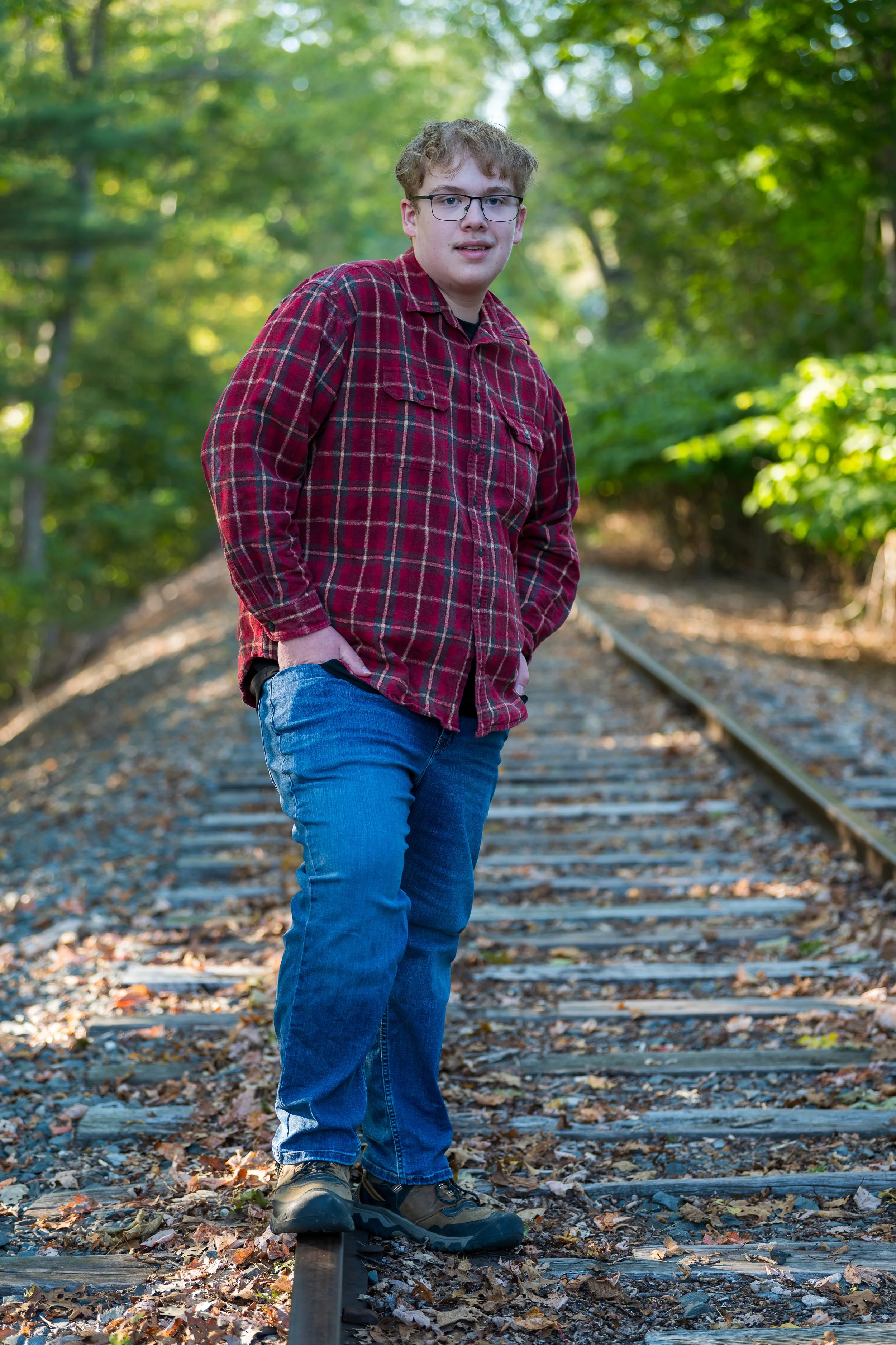
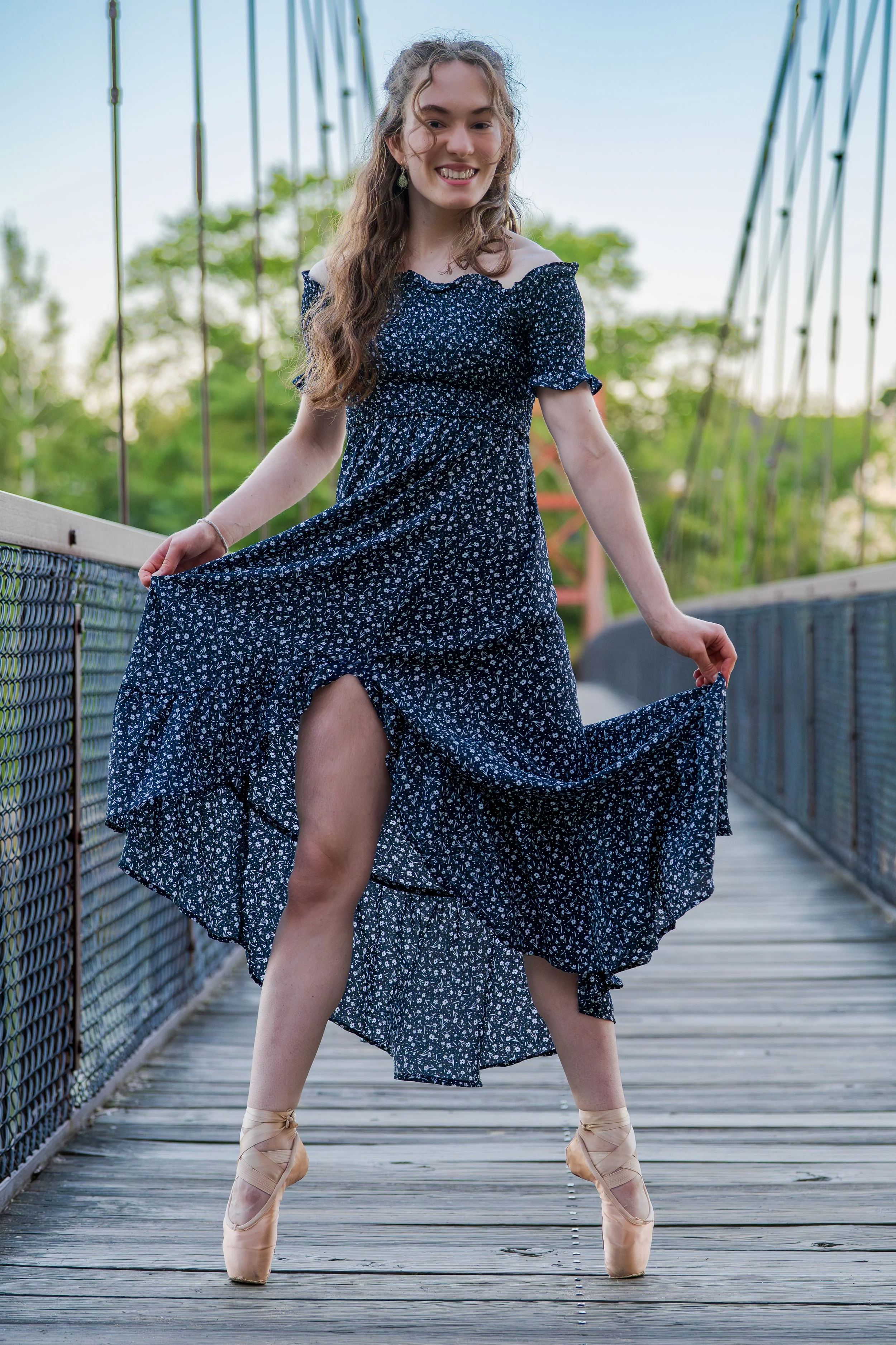
Several public access points exist on both sides of the Androscoggin. Of course the Grandaddy of them all is the Swinging Bridge, an engineering marvel that touches both towns and leads, on the Topsham side, to the Androscoggin River Walk which is bookended by the bright yellow of the Great Bowdoin Mill. Further downstream in Topsham you will find a hidden gem. The Smart Property managed the Brunswick Topsham Landtrust, with parking on Elm Street, is just a short walk to the reedy shore of the river where a canopy of towering silver elms throws a beautiful autumn light over a perspective on the river that is rarely seen from a car.
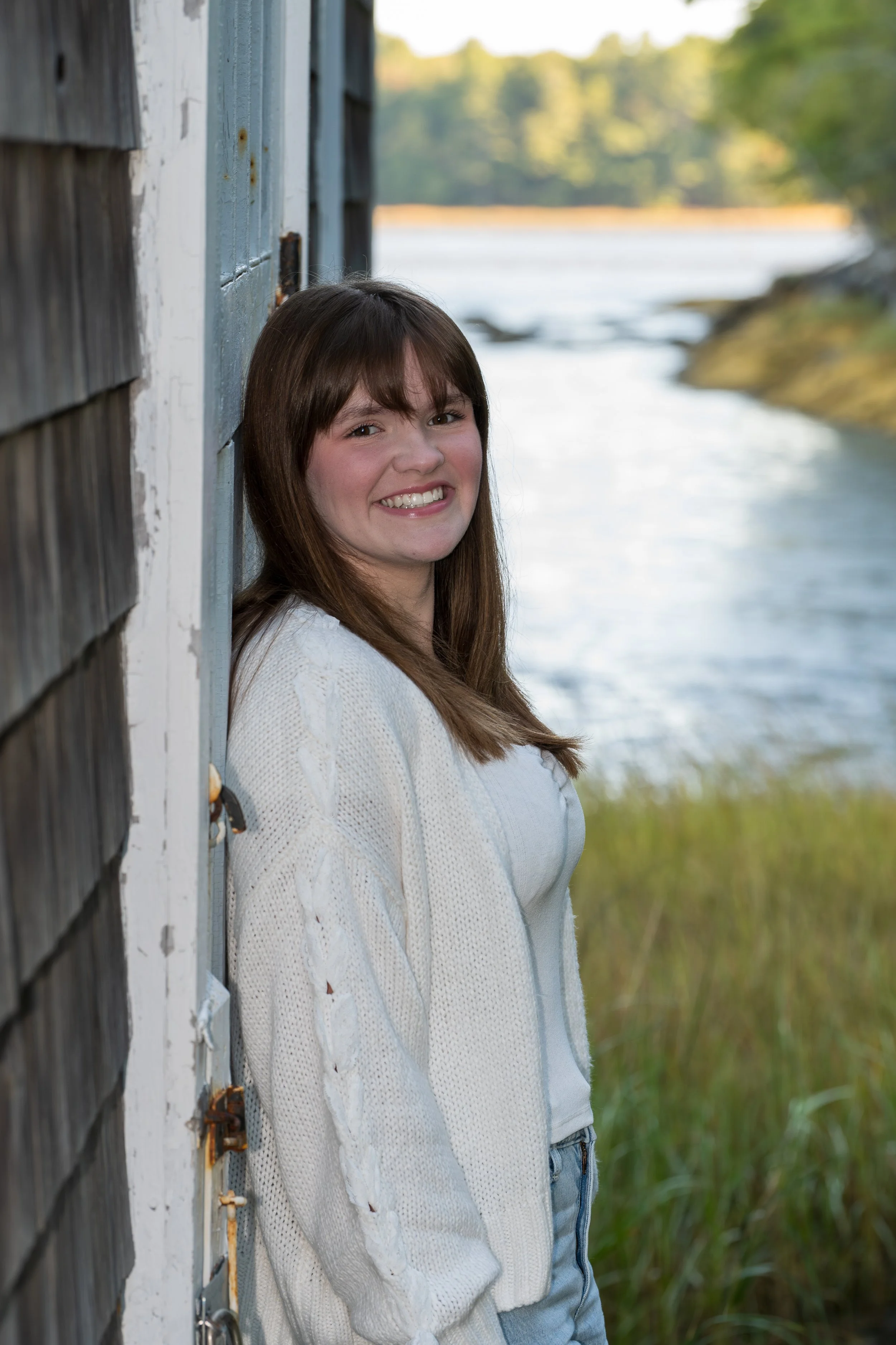
Likewise, on the Brunswick side of the river the bike path, Pinette’s Landing, and two Water Street boat launches offer unique views up the river from its very edge. The old black railway trellis presents a nice counterbalance to the concrete of the Coastal Connector,. Further upstream Brunswick’s 250th Anniversary Park, just across the street from Fort Andross, is a little used pocket park that offers tremendous views over to Topsham and downstream. If water conditions are right, a scramble over some rip-rap will put you beneath the Green Bridge.


Brunswick’s Sixty-One Miles of Coastline
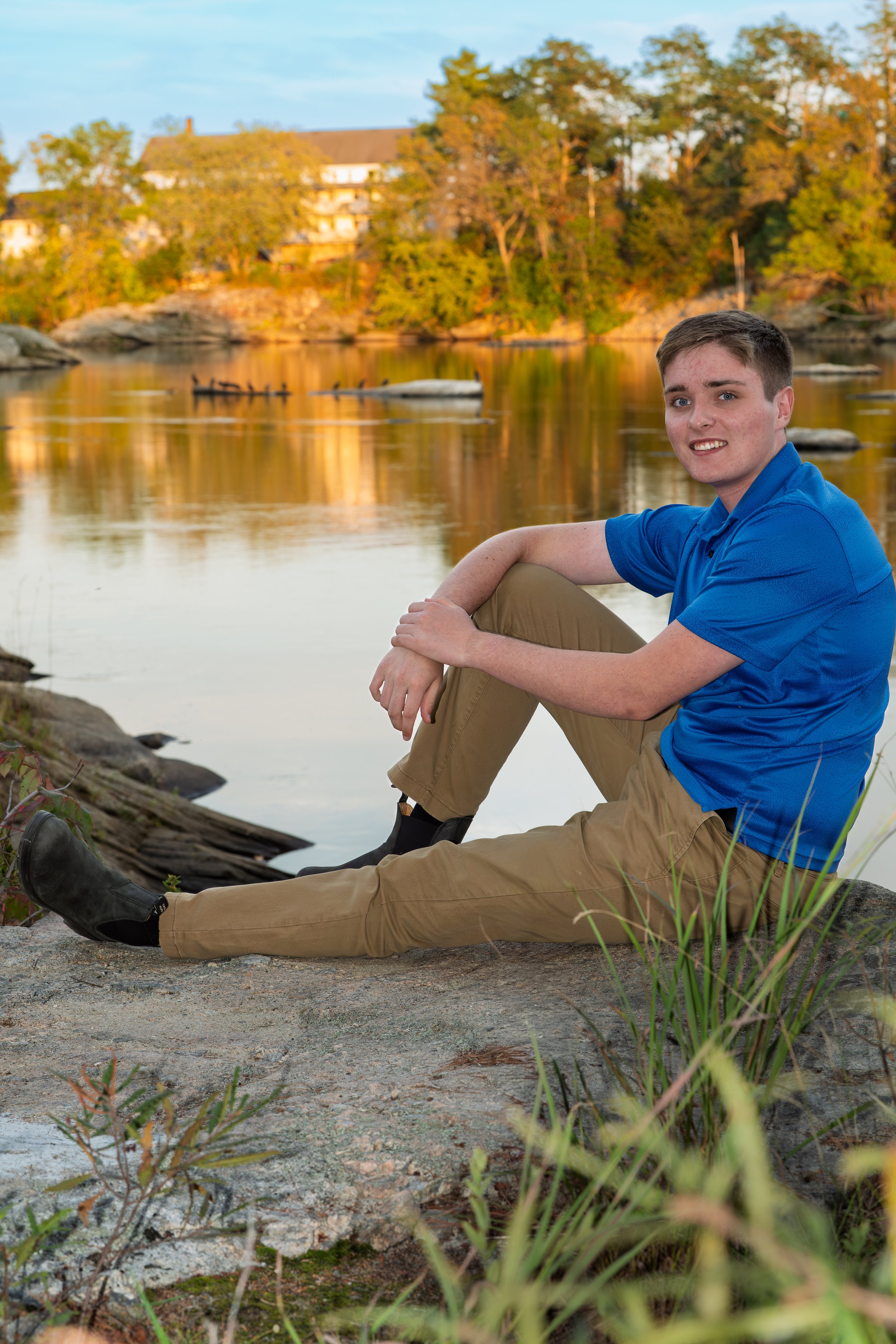
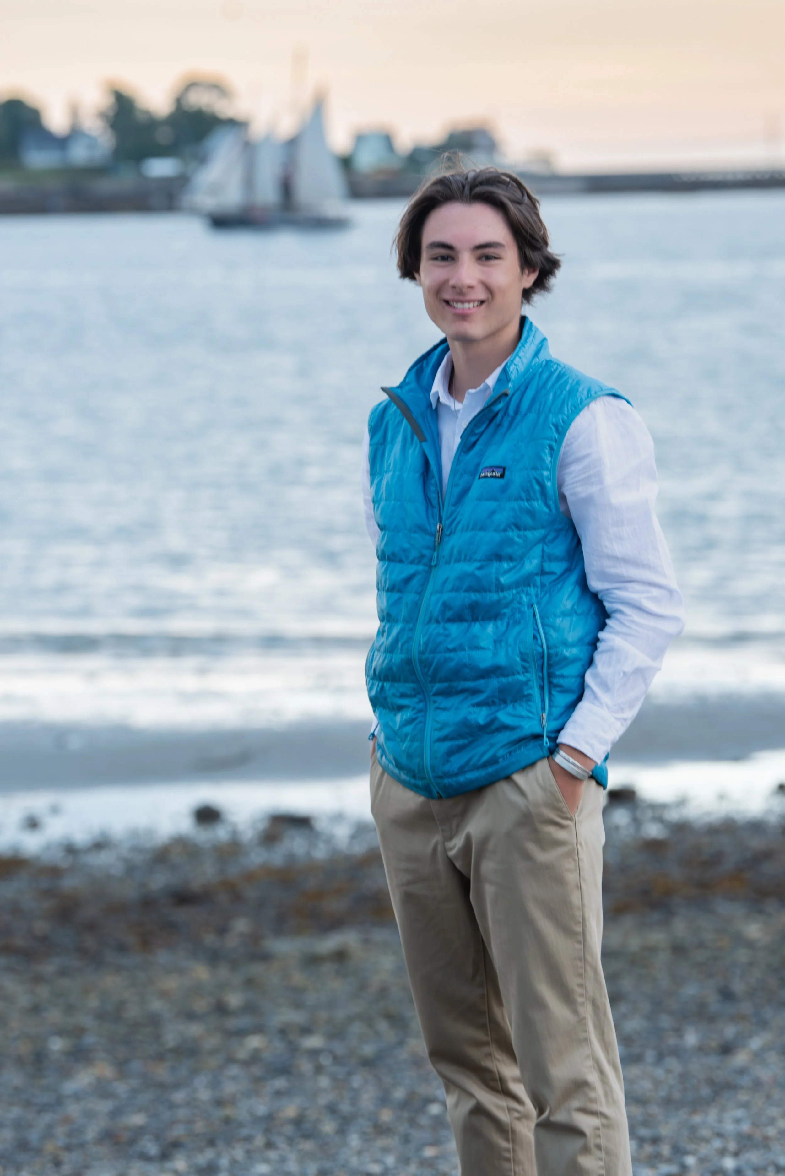
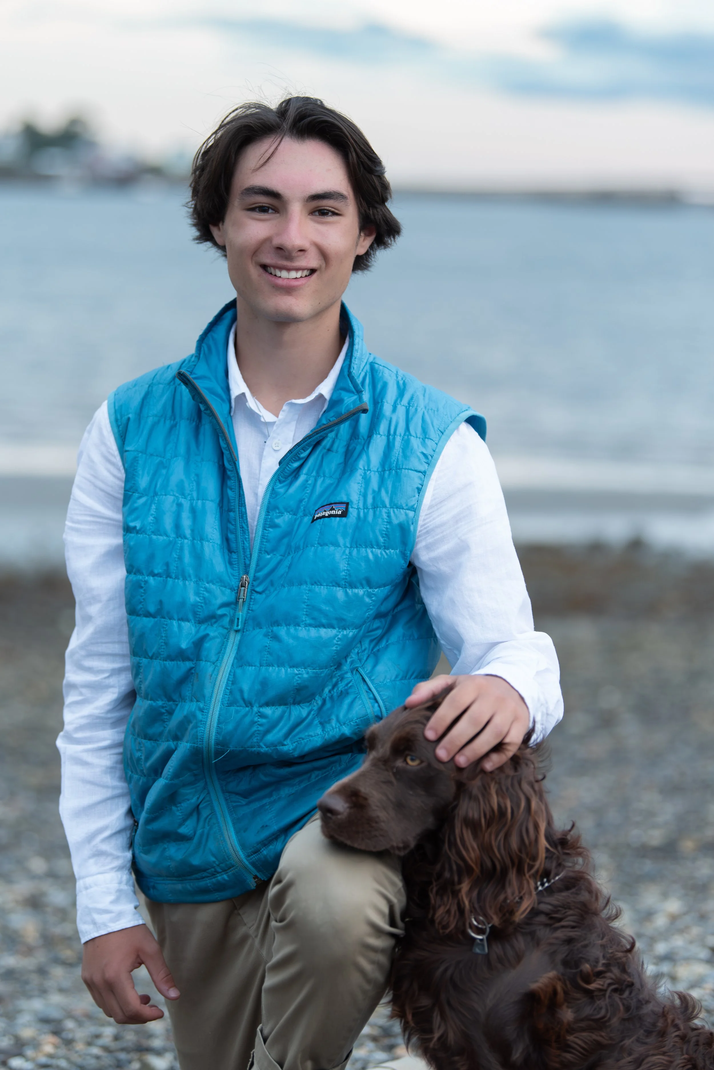
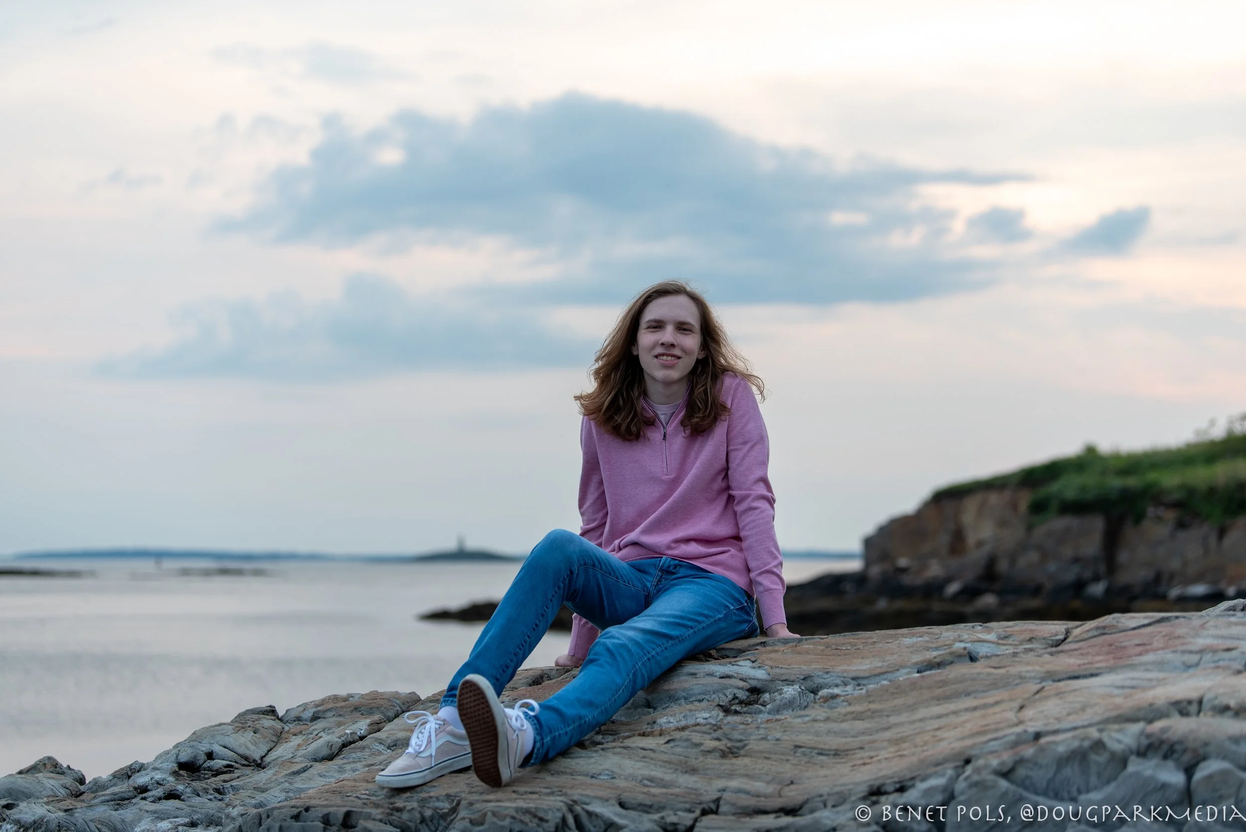
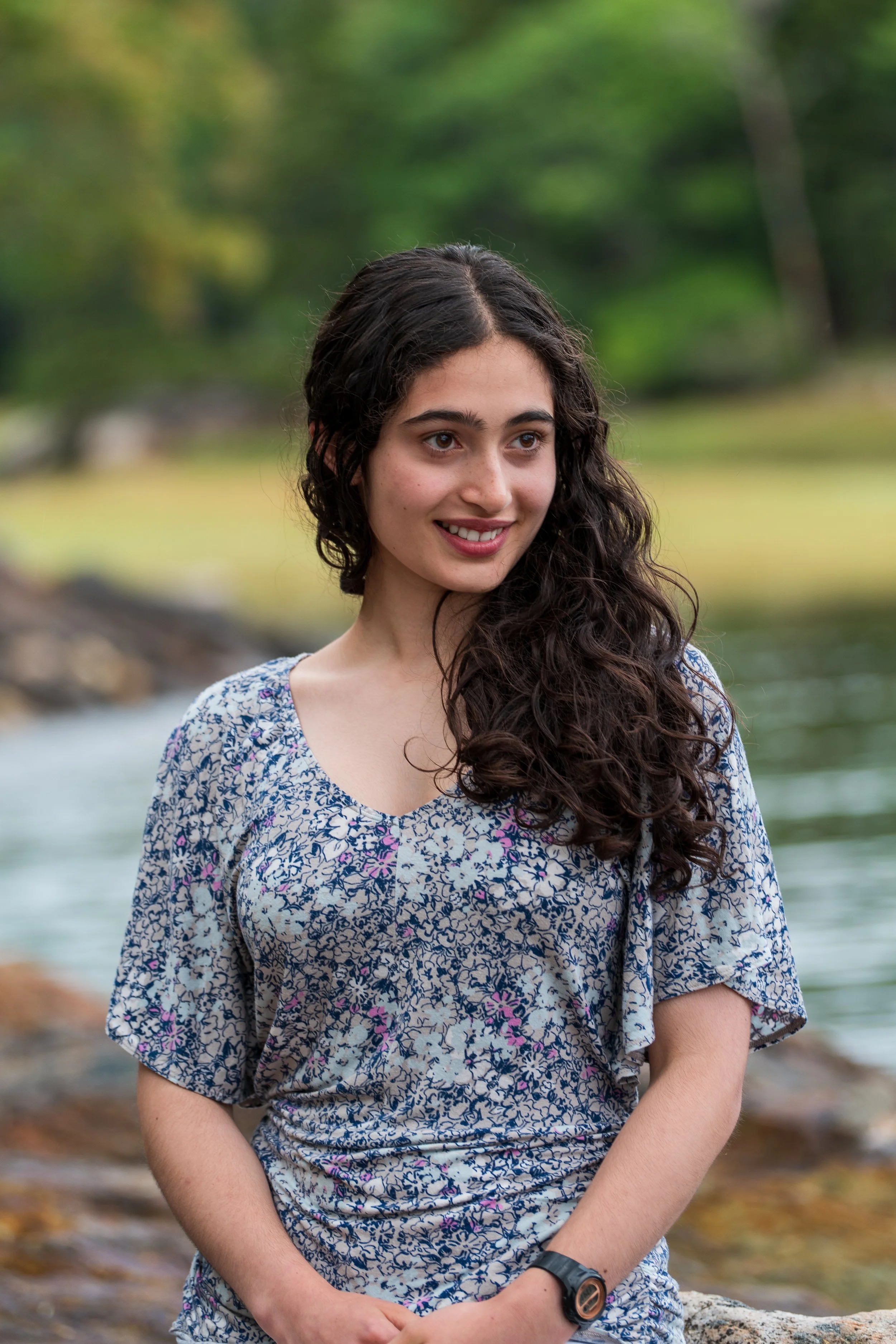
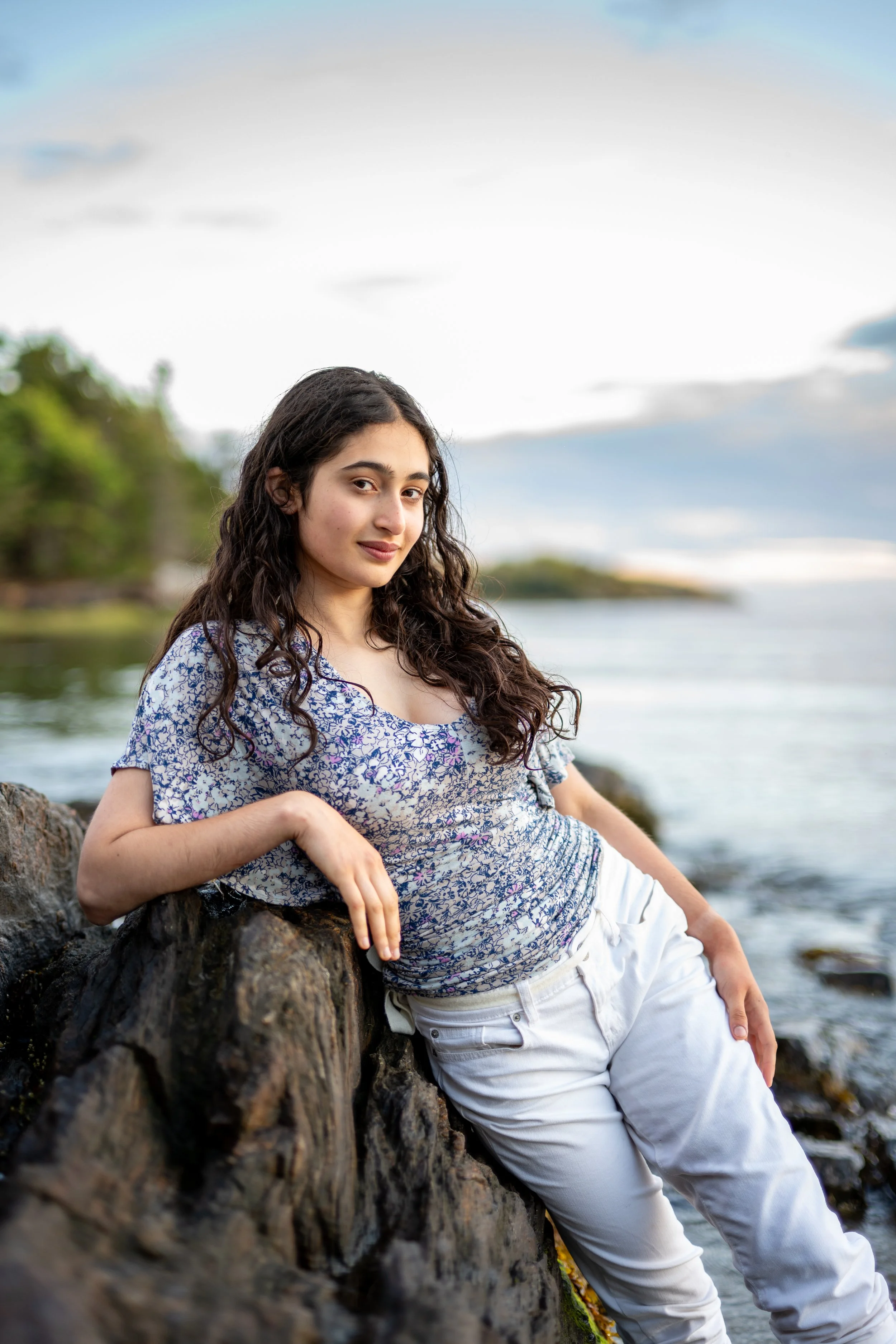
With Sixty-One miles of shoreline there are an awful lot of special places in Brunswick to get that coastal backdrop. Many are well known and easily accessible, some are hidden gems. I am always amazed when I take a life long Brunswick family out for a photo shoot and we end up at a place they have never been. Just to name a few think about Simpson’s Point, Barnes Landing, the Maquoit Conservation Area, Woodward Point, Wharton Point, and don’t forget the Mere Point Boat Landing.


Pennellville
Simpson’s Point Landing and Barnes Landing book end the historic Pennellville neighborhood of Brunswick. Once the cradle of the ship building era, it’s arguably the cradle of Brunswick’s conservation movement.
At the west end you will find Simpson’s Point where the well loved boat landing is maintained by Brunswick’s Parks and Recreation team. Always popular with swimmers, the location is so well loved that you can expect a fair number of other visitors. Due to its orientation and the fact that there is very little public access on the west side of the landing, portrait photography is generally best done there in the morning or on overcast days. At low tide the remnant of Joshua Chamberlain’s Wharf is plainly visible at the base f the town’s concert boat landing.
A the east end of Pennellville you find Barnes Landing, another property managed by the Town of Brunswick. It offers ample space on its west side for afternoon photos with light muted by the woods up on the promontory. At the end of Pennellville Road, Barnes landing is maintained primarily as an access point to the bountiful clam flats of Middle Bay Cove. The access is point is neither conducive to vehicles nor to swimming so aside from shell fisherman and the occasional walker the point is generally quiet. Views span some 250° and include great vistas of the islands of Middle Bay, and the boathouse across Middle Bay Cove at Harpswell’s Skolfield Shores Preserve.


Maquoit Conservation Area
The Maquoit Consevstion Area is owned and maintained by the Town of Brunswick and the Brunswick Tophsam Land trust has an easement over the property. There’s a nice gravel parking lot just off Bunganuc Road with an informative kiosk. A fifteen minute walk through the woods will take you to the western edge of Maquoit Bay. The walk is easy, not so much a hike as a stroll, though it can be wet. To either side of you you will see plummeting ravine edges that drop down to two of the many creeks that drain into Maquoit Bay. Once at the Bay’s edge you’ll find a couple of displays describing the natural phenomena you’ll observe as you take in the view. North up the Bay you will see Wharton Point and the intersection of Maquoit and Woodside Roads. Across the Bay to the east you’ll see Mere Point and looking down the Bay you will see more of Casco Bay and the Islands. If the tide is out there will be plenty of diggers as these are some of Brunswick’s prolific clam flats. The shellfishermen access the flats from the public landing at Wharton Point.
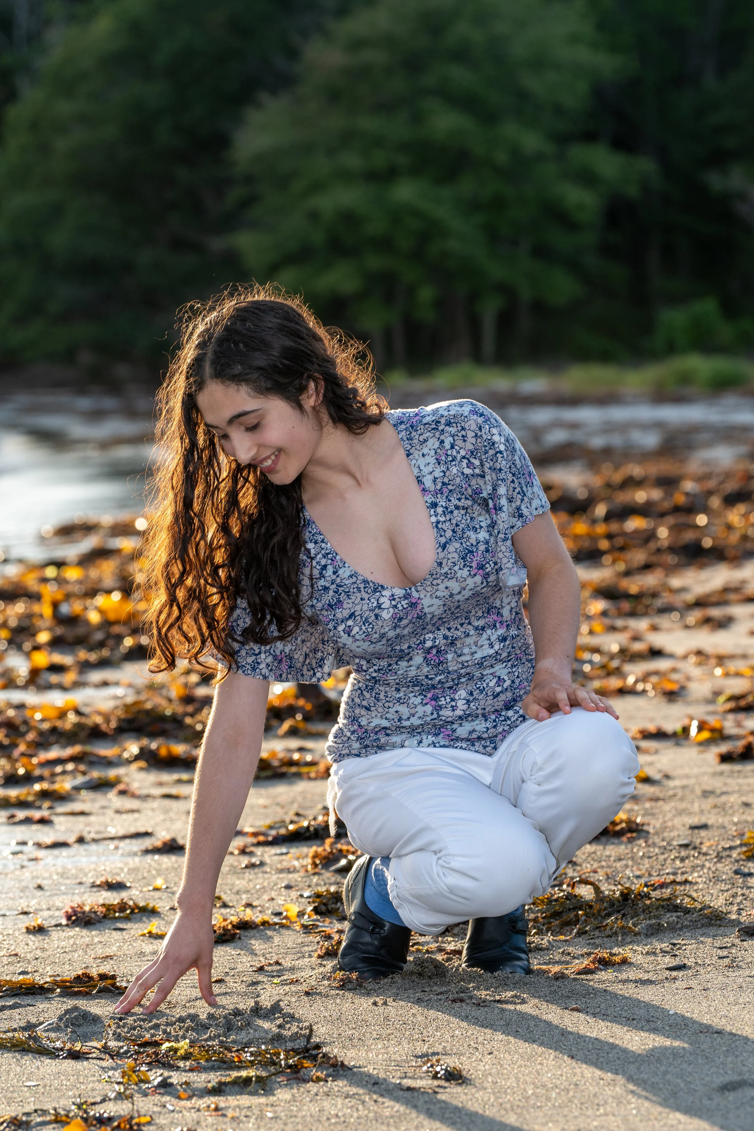
It is a great place to explore in the winter time when the frozen creeks and edges of Bay expand the walkable areas and allow you to see the landscape from a different perspective. I’d be more than happy to get a winter time portrait down there. But as you can see the fall provides some good light.


Woodward Point Preserve
Wood Point is another great cooperative venture between the Brunswick-Topsham Land Trust (BTLT), Maine Coast Heritage Trust (MCHT), and the Town of Brunswick. The Woodward Point property totals 87.5 acres of uplands. In addition, there are more than 38 acres of subtidal wetlands and almost four acres of fringing salt marsh. Most of the intertidal lands are state-mapped significant shellfish beds as well as high-value waterfowl and wading bird habitat. The fields found on the preserve today were once part of an active farming operation that included dairy and beef cows, as well as hay production. Previous owners also built a dam on the western side of the point that forms a small pond. Working with Ag Allies the preserve now manages its haying operations to maximize nesting bird habit for Bobolinks and Savannah Sparrows. As a result the wild flowers down there are prolific and don’t get hayed under as early in the season as they might other places.
Another interesting feature is an ADA compliant trail that makes getting outdoors possible even for those with limited mobility.
But the best thing for photos is the light. Because there are plenty of deciduous trees, and the stretches of woods are long and unbroken, the light of the rising or setting sun is filtered through the trees is a pleasing dappled manner. One of the photos attached here is not a senior portrait at all but the lighting is great. I was pleased when MCHT asked to use it one of their annual memberships mailings.


Harpswell
Skolfield Shores
Just on the Harpswell side of the town line on Route 123 behind the historic Merrucoonegan Farm you’ll find Skolfied Shores Preserve, a property managed but he Harpswell Heritage Land Trust. With fields, salt marsh and more than 4,000 feet of shoreline on Middle Bay Cove, Skolfield Shores Preserve is well-suited for a pleasant walk or spotting a wide range of birds, from meadowlarks to terns.
The main trail system includes the Hemlock Loop and the Merrucoonegan Loop. For a total of one mile, these loops wind through varied forest habitat and provide views of the cove, the salt marsh separating Brunswick and Harpswell and the fields of historic Merrucoonegan Farm. A spur trail leads to a turn of the century boathouse along the shore.


Mitchell Field, Stover’s Cove, and Pott’s Point.
For a variety of recreational offerings, Mitchell Field can’t be beat. This 120-acre former U.S. Navy fuel depot property was transferred to the Town of Harpswell in 2001 from the federal government. It boasts several miles of paved and gravel paths, a sandy beach, a bandstand that hosts outdoor concerts, and the Harpswell Community Garden.
Mitchell Field a great place for walking, bicycling, swimming, playing on the beach, cross-country skiing, picnicking, and so much more. On clear days, you can see Mount Washington 80 miles to the west. The easy outer perimeter gravel road is wide and level, making it a great choice for almost anyone to traverse. There are trails running through the woods where you can seek relief from the sun with tall old growth trees and grassy trails. In terms of photography the shoreline is wide open to a western view so there aren’t a lot of opportunities during the golden hour to avoid brightly lit faces. Best to leave this site until later in the evening when the mellow light of “blue hour” prevails
.


Stover’s Point Preserve is a narrow gravel sandbar that wraps itself around a salt marsh. Salt marshes are unique, productive and sensitive habitats with plants and animals that are adapted to the changing tides and water conditions. Grasses grow well here, forming the base of a food web that includes fish, birds and shellfish. Please do not park or walk on the marsh grass.
The public is welcome to enjoy the peaceful beauty of Stover’s Point Preserve. It’s a great place for swimming, relaxing on the gravel beach, exploring the tidal stream, kayaking or paddleboarding, and enjoying the view of the iconic Cribstone Bridge. Bring water shoes to protect your feet from numerous barnacles. Please check our visitor guidelines below for hours and dog leash rules. Parking is limited. Speed limit 5 mph.
If you love exploring the ocean shoreline, the tiny preserve at Pott’s Point has just about everything you could want. There are extensive tide pools to explore, a gravel beach and dramatic views of Casco Bay. Standing at the southern tip of the preserve, you can enjoy an unparalleled view of a number of the islands that make Casco Bay so special including: Haskell, Pinkham, Bailey, Upper Flag, Thrumcap, and Eagle Islands.
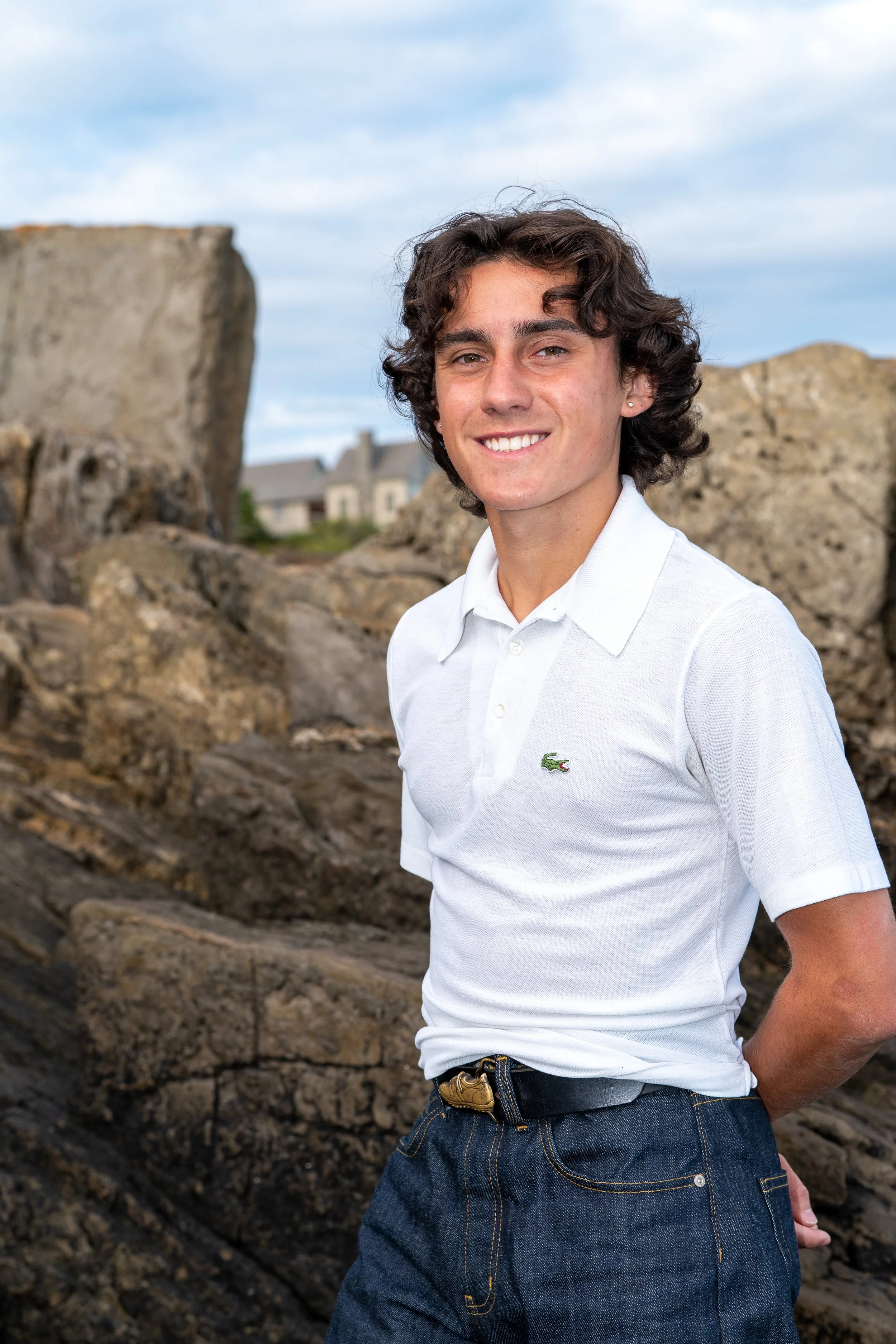
Land’s End, The Giant’s Stairs, Mackerel Cove, the Cribstone Bridge
Land’s End is another busy spot. It’s at the very end of the road on Bailey Island. With its gift shop and a parking lot that drops you off just s short walk from a great view it attracts a lot of people doing short visits. Even so it has a great Panoramic view over the outer portions of Casco Bay.
If you really want to make the most of this trip it would be a great idea to also stop off at the nearby Giant’s Staircase, or Johnson Field over looking Mackerel Cove. This will help vary the shooting options and provide different orientations to the sun and wind direction—the shore is a great place for scenery but the wind plays havoc with hair!
Maine’s shoreline provides scores of iconic backdrops but if you want to get a true icon in the photo we can stop by the Cribstone Bridge as we head back off the island. It’s always a risk to include an icon in a portrait; it may overwhelm the model. The Cribstone Bridge’s fine geometrical pattern and the subtle colors of the weathered granite guides keeps the focus on your senior. Of course low tide and the right time of day are needed to pull this shot off.


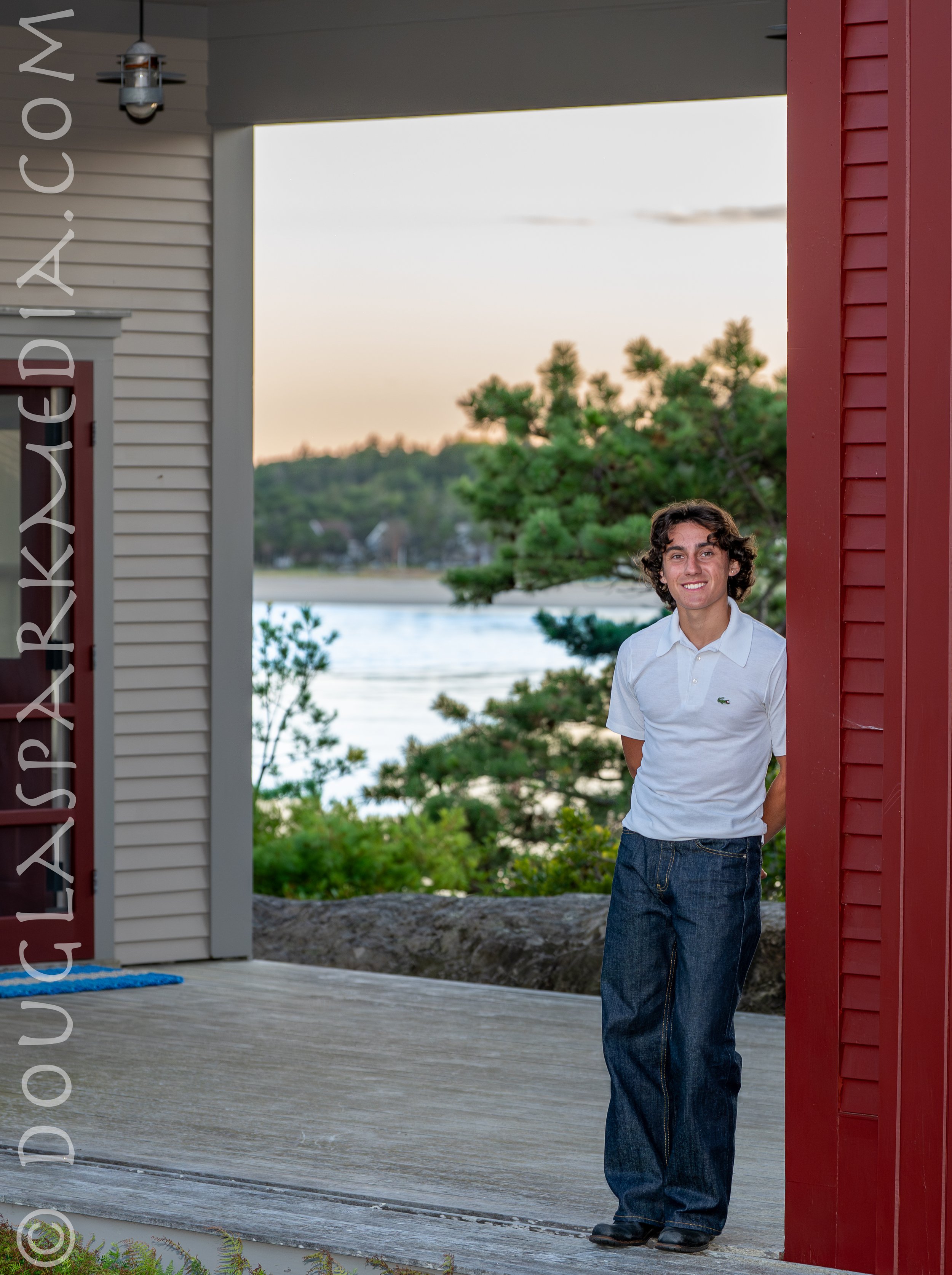
In Town
Both Brunswick and Bath offer excellent architectural back drops. Both towns have long histories, active historical preservations organizations, beautiful buildings, and mature urban tree canopies.
“To walk through the Bowdoin campus is to walk through the history of American architecture. The Federal period, the Greek Revival, the Gothic Revival, the Victorian, and the modern — all are to be found here. Each age has left its imprint, and today the buildings of Bowdoin stand as a record of the changing tastes of our forebears. The student, who President Hyde hoped would learn "to count Art an intimate friend," lives daily with that opportunity. The very campus is a part of the liberal arts experience at Bowdoin.” So wrote LeRoy Greason, the President of the College in the forward to a 1988 book on Bowdoin’s archtiecture. The same can be said for the City of Bath with the Patten Free Libary and the Winter Street Church at its heart. The Library Park boasts a score of artistic, architectural and historical details that serve as touch stones; local icons that tell us where we are and serve as a nice reference point without detracting from the focus of the photo: you.
Shading is another great characterizes of these locations. Whether from the mature, high canopy of the treescape or from the buildings themselves these locations provide consistent lighting which can make even a short school produce a dozen or more “keepers.” It is generally a good idea to balance a safe location like this against a second shoot at.a dramatic location such as a beach or rocky shoreline where fill flash or reflectors may be needed to keep shadows off your face.


The Beaches of Sagadahoc County
Everyone from the Bath Brunswick Area knows Popham and Reid State Parks but who knows where First Beach, or Totman Cove, formerly known as Sebasco Beach are? I do.


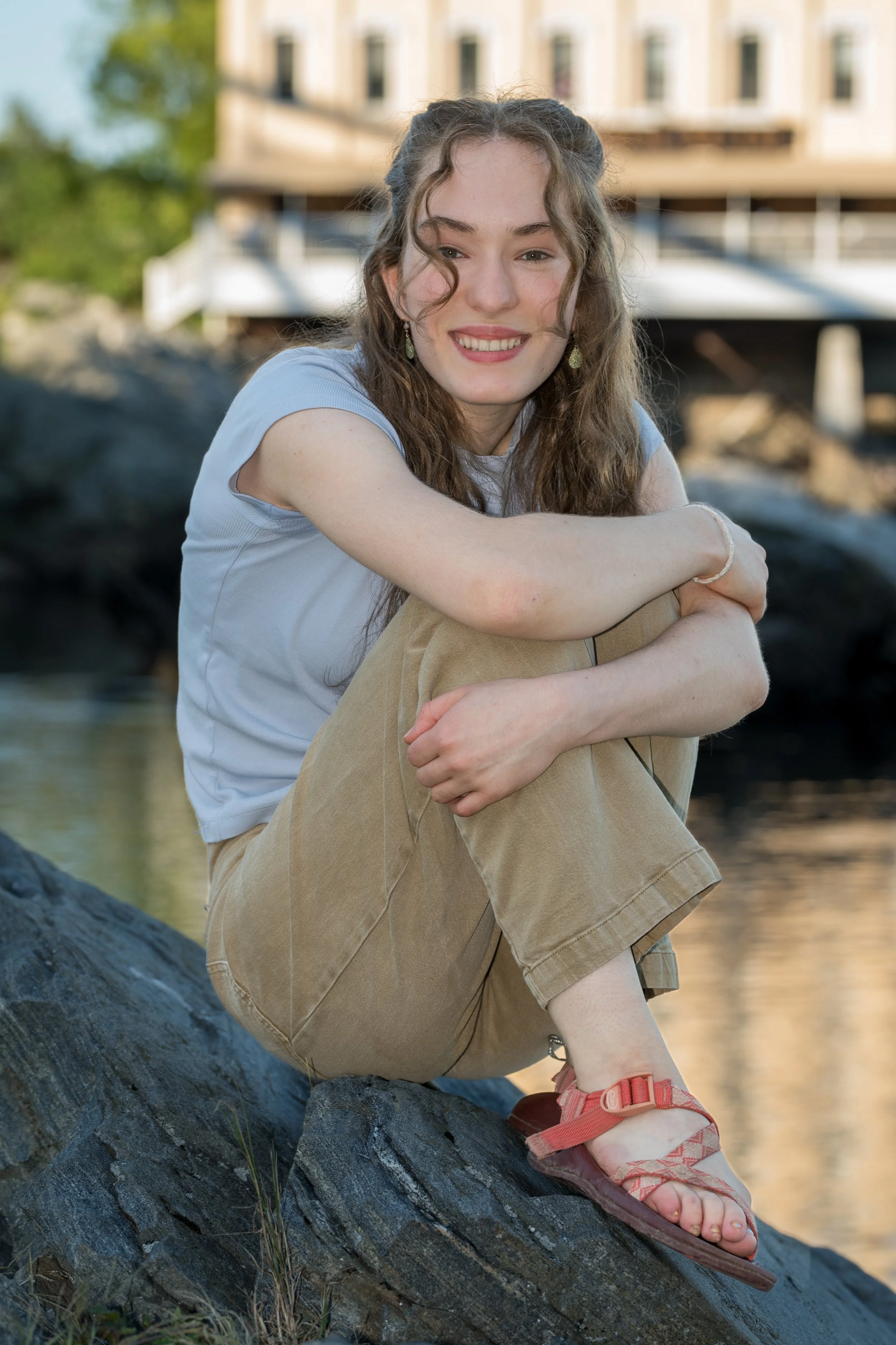
Out of Town? A Private Location? In Your Backyard?
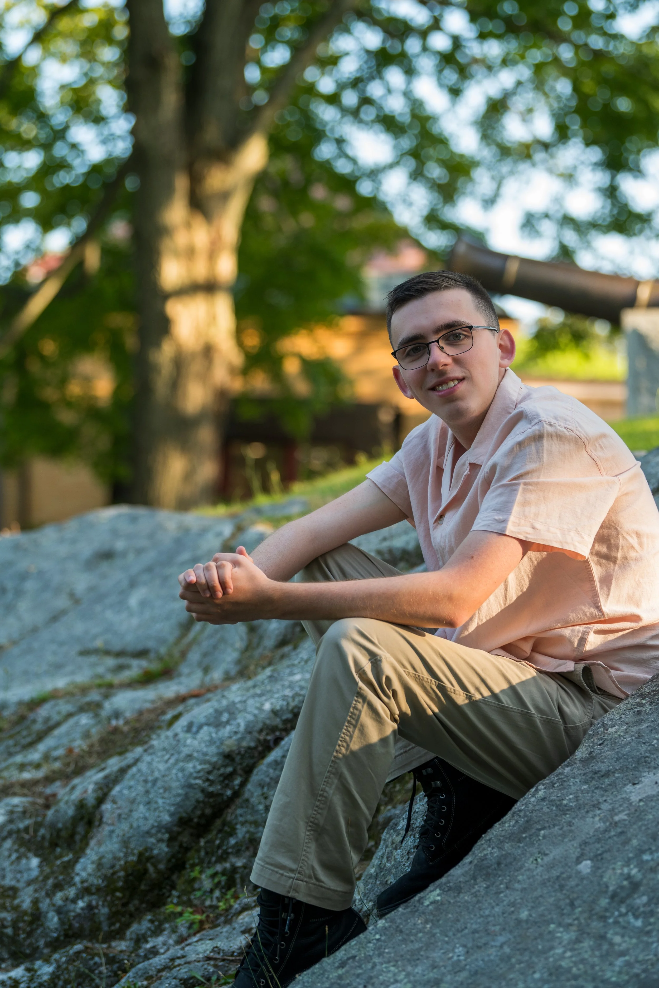
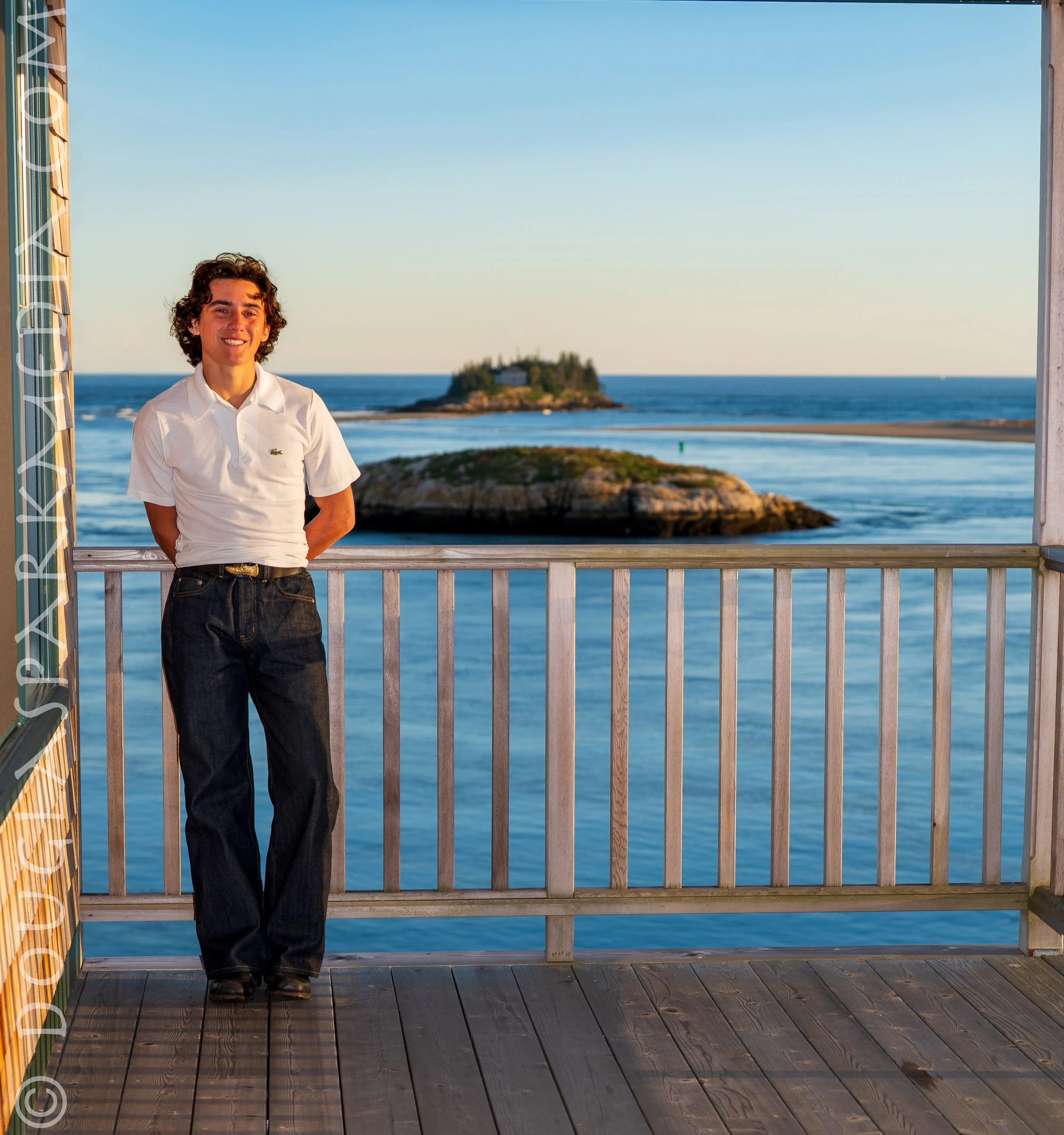
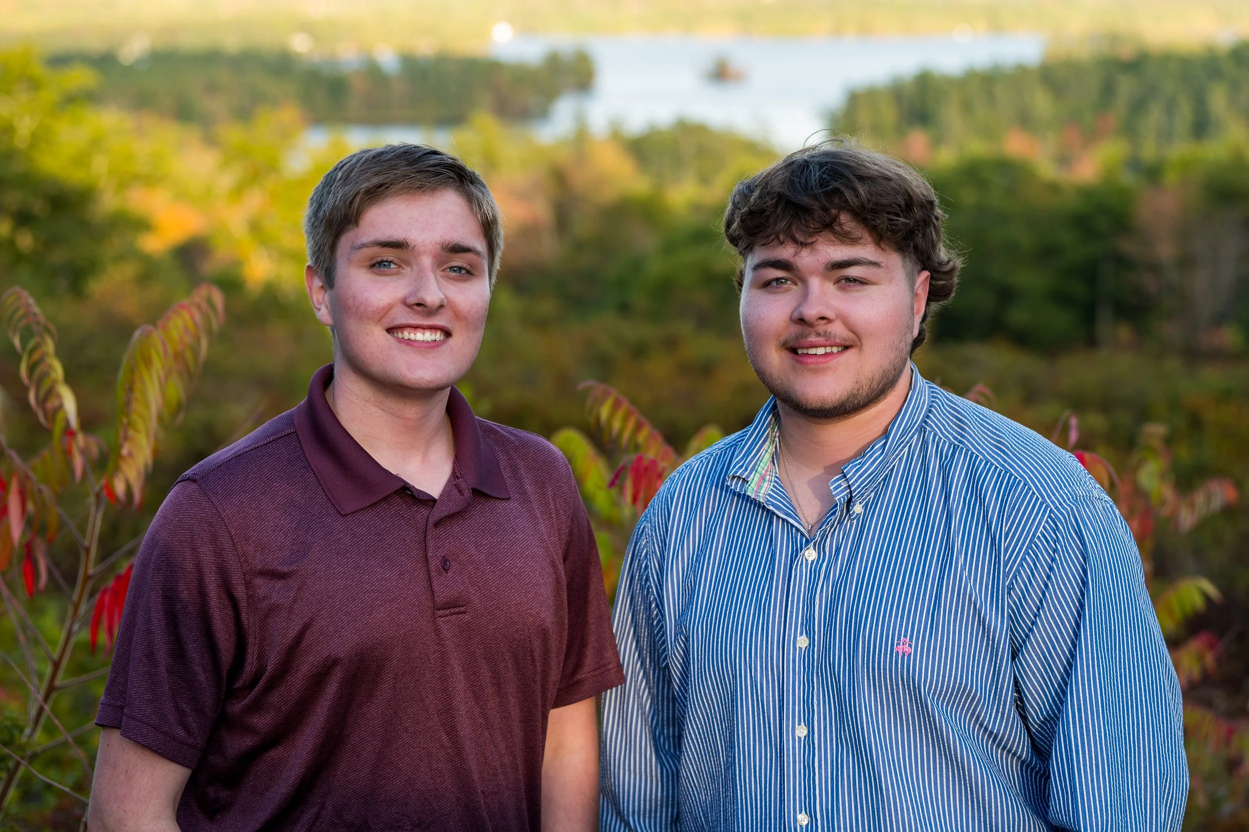
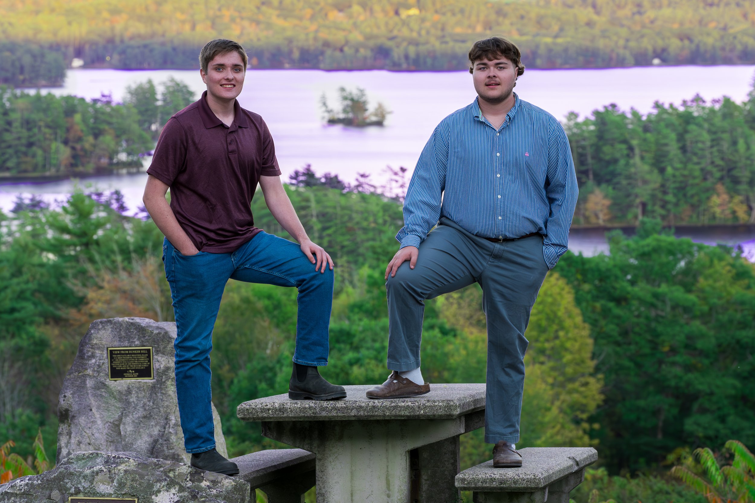
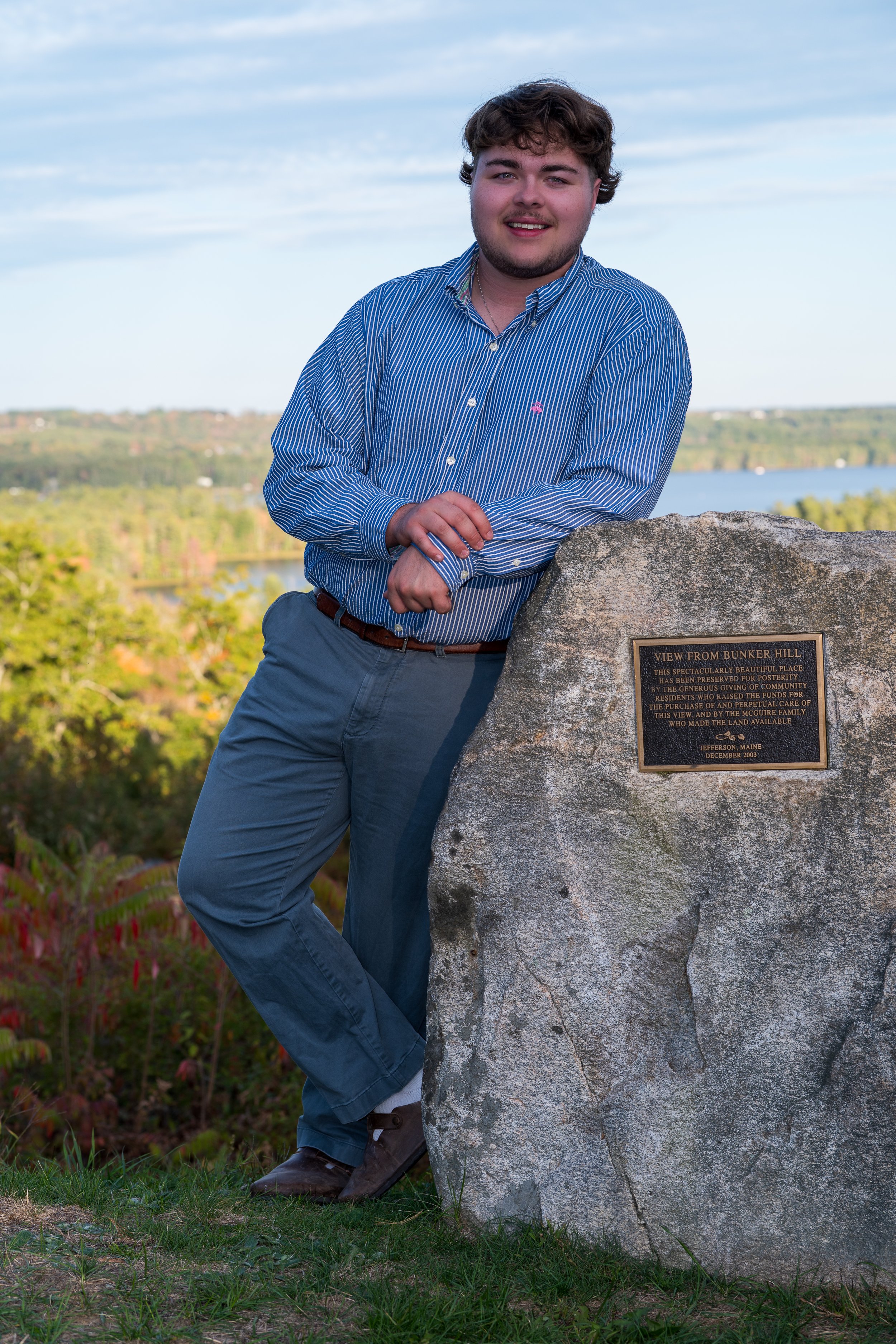
For the Class of 2026 I shot photos of seniors from six different schools from Cheverus to Lincoln Academy and everywhere in between. I shot in Jefferson, Phippsburg, Sebasco, Georgetown, Bath, Brunswick, Topsham, Harpswell, and Bailey Island. If you have a private location in mind let’s be sure we have permission. If you have an idea for a place I haven’t been let’s talk.


Here are just a few spots that I love but haven’t yet shot.
Pettingell Farm. The Salt Marshes and Rivers at Petteingill Farm provide a fine waterfront backdrop but the fields and hills below the saltbox farm house present a great opportunity to recreate Wyeth’s Christina’s World.
Cathance River Nature Preserve, Topsham
Merrymeeting Bay, Anywhere on its shoreline
Mast Landing Audubon in Freeport. This property features some great old architectural relics of our industrial past.
Hamilton Audubon. Sanctuary, West Bath. The afternoon light in the woods is fantastic.


