“If I can get them into the hands of someone who values them I will be doing us both a favor.”
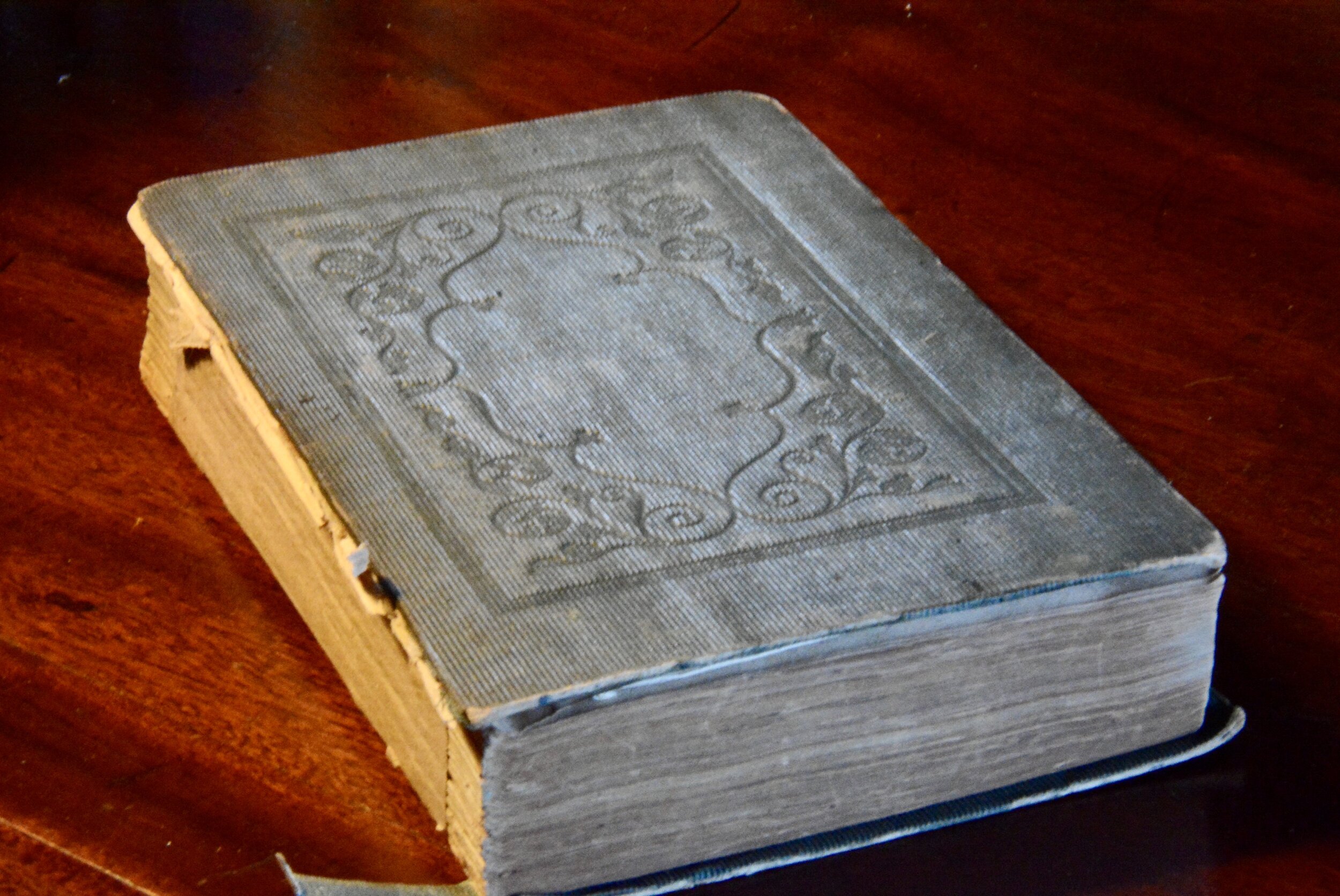
Old books with maps and charts are interesting. One on hand they send you further down the rabbit hole looking for meaning, history, accuracy, and context. On the other hand the they add another layer to the question of the book’s value; their folds, creases, different methods of insertion and placements almost always lead to questions about the book’s condition. They are often missing altogether.
So I found Samuel Parker’s 1838 Exploring Tour Beyond the Rockies, recounting his travels to the Oregon Territory, a particularly interesting find in my inventory of several thousand old and rare books. I am happy to report it will find a home with a collections registrar, regional landmarks commissioner, and historical archeologist with deep experience in regional museums and historical preservation organizations in the Northwest. The book is on the road home.
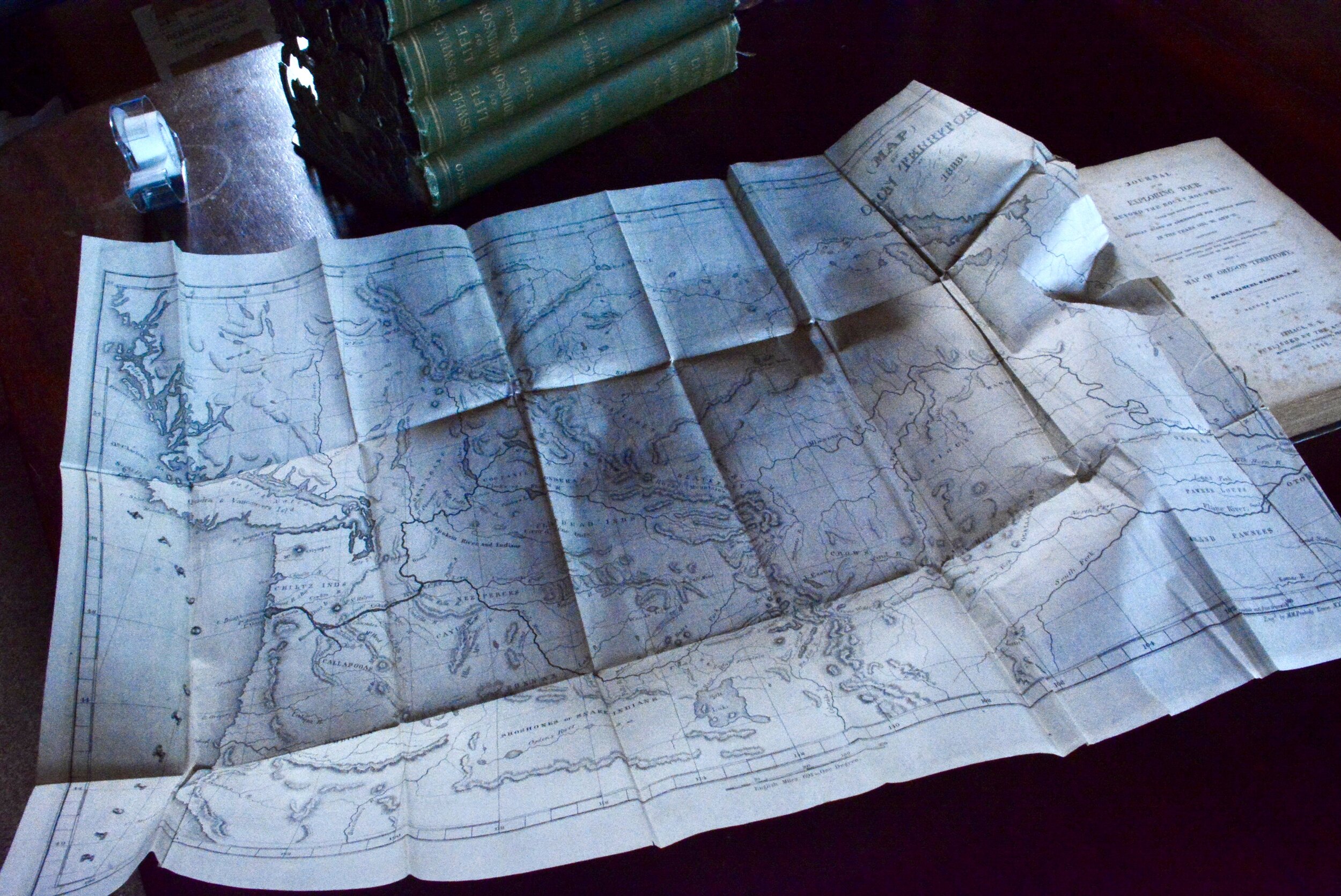
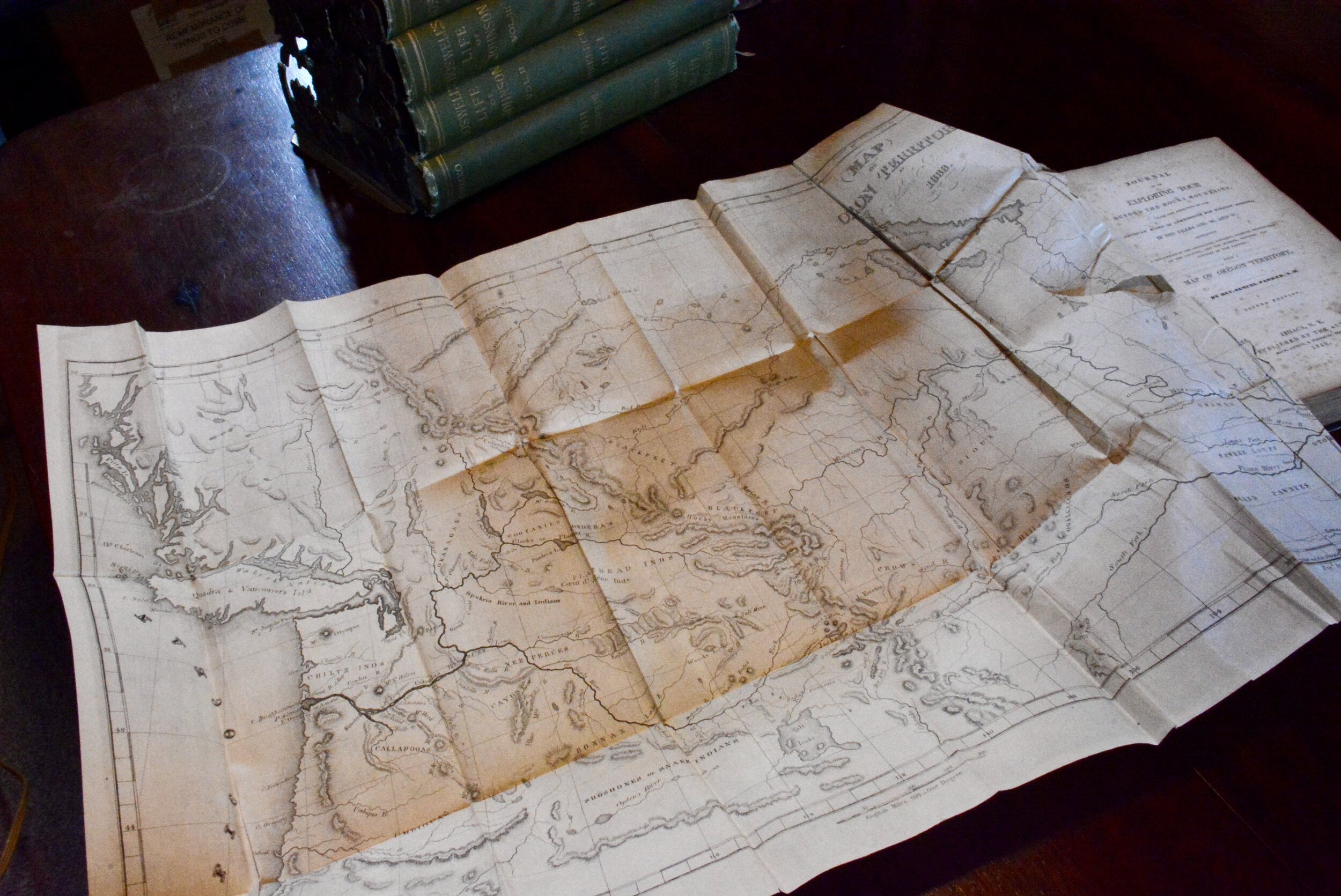
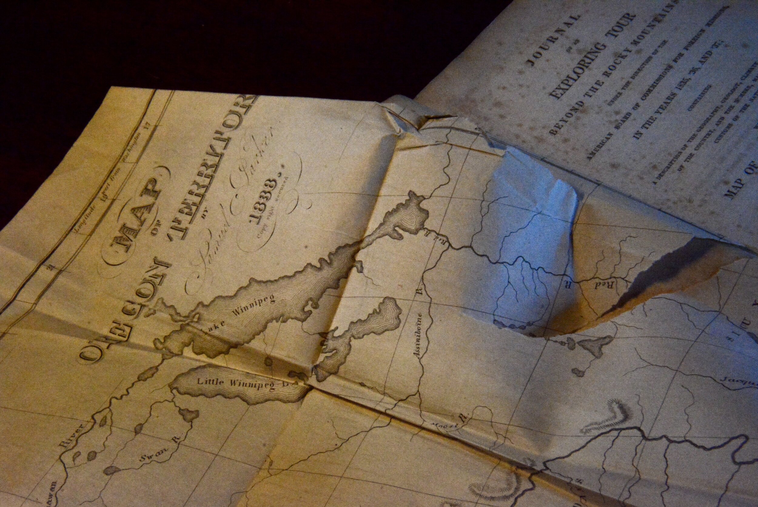
The map accompanying Parker’s work is reputed to be the first reliable map of the interior of Oregon territory. Parker was on a religious mission pursuing locations, and presumably people, to bring into his particular fold. According to the Washington State University digital library site which contains an online version of the map, “In 1834, the American Board of Commissioners for Foreign Missions appointed Rev. Samuel Parker to go to the Oregon Territory and scout locations for missions there. Parker traveled overland to Oregon in 1835, and traveled as far north as Colville while locating sites for missions near Spokane, Lewiston, and Walla Walla. Eventually, he traveled to Fort Vancouver, and from their obtained free passage by ship to Hawaii, and after some delay there he returned to Boston via Cape Horn. In 1838, he published this map, and the book from which it was taken, as an aid and inducement to future settlers.” The Wikipedia entry on the ABCFM is fascinating.
The description of this map as the “earliest reliable source, made from personal observation” is attributed to The Plains and the Rockies: A Critical Bibliography of Exploration, Adventure and Travel in the American West, 1800-1865, begun by Henry R. Wagner and continued by Charles L. Camp and Robert H. Becker. Book and map sellers most often refer to this source as “Wagner-Camp.”
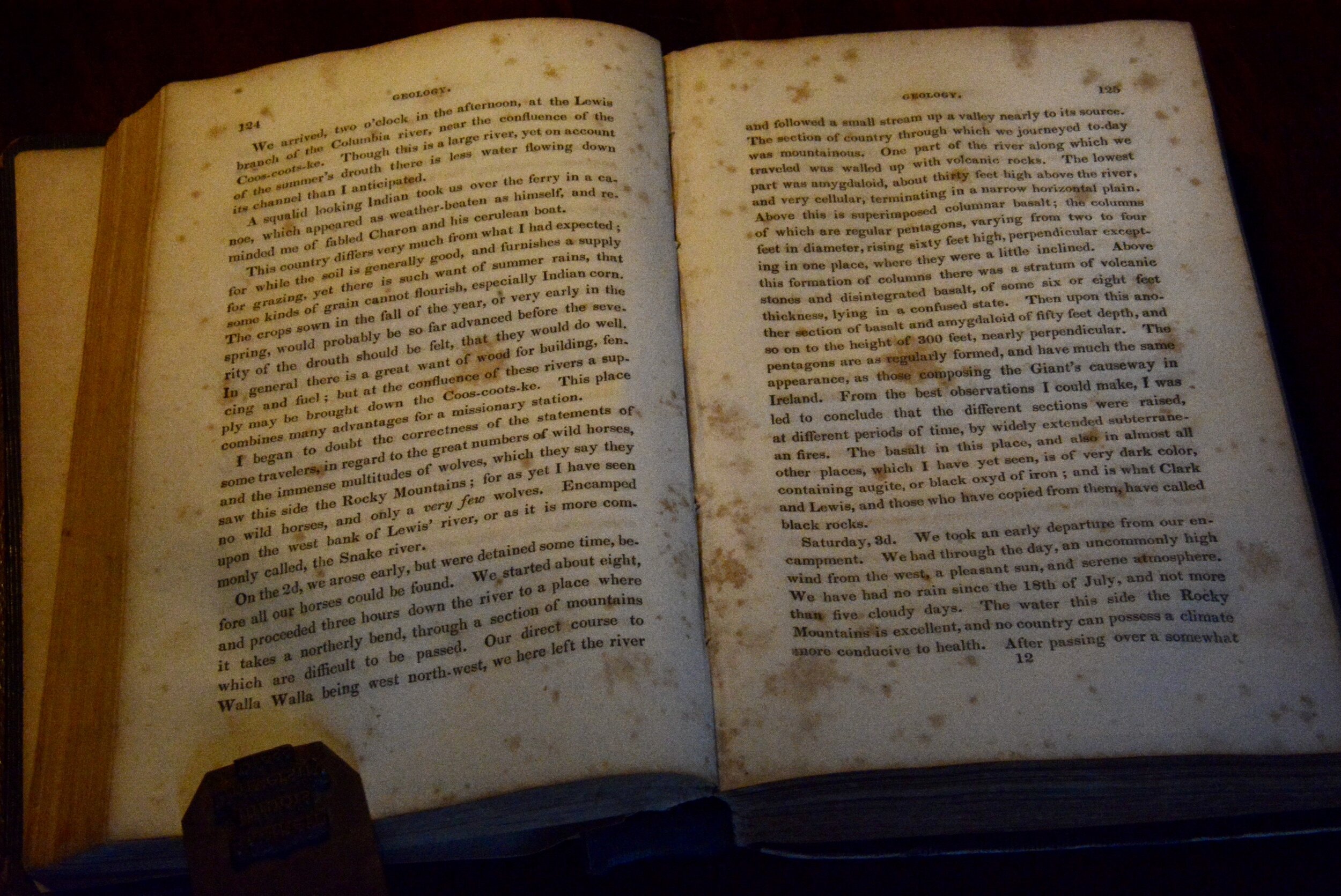
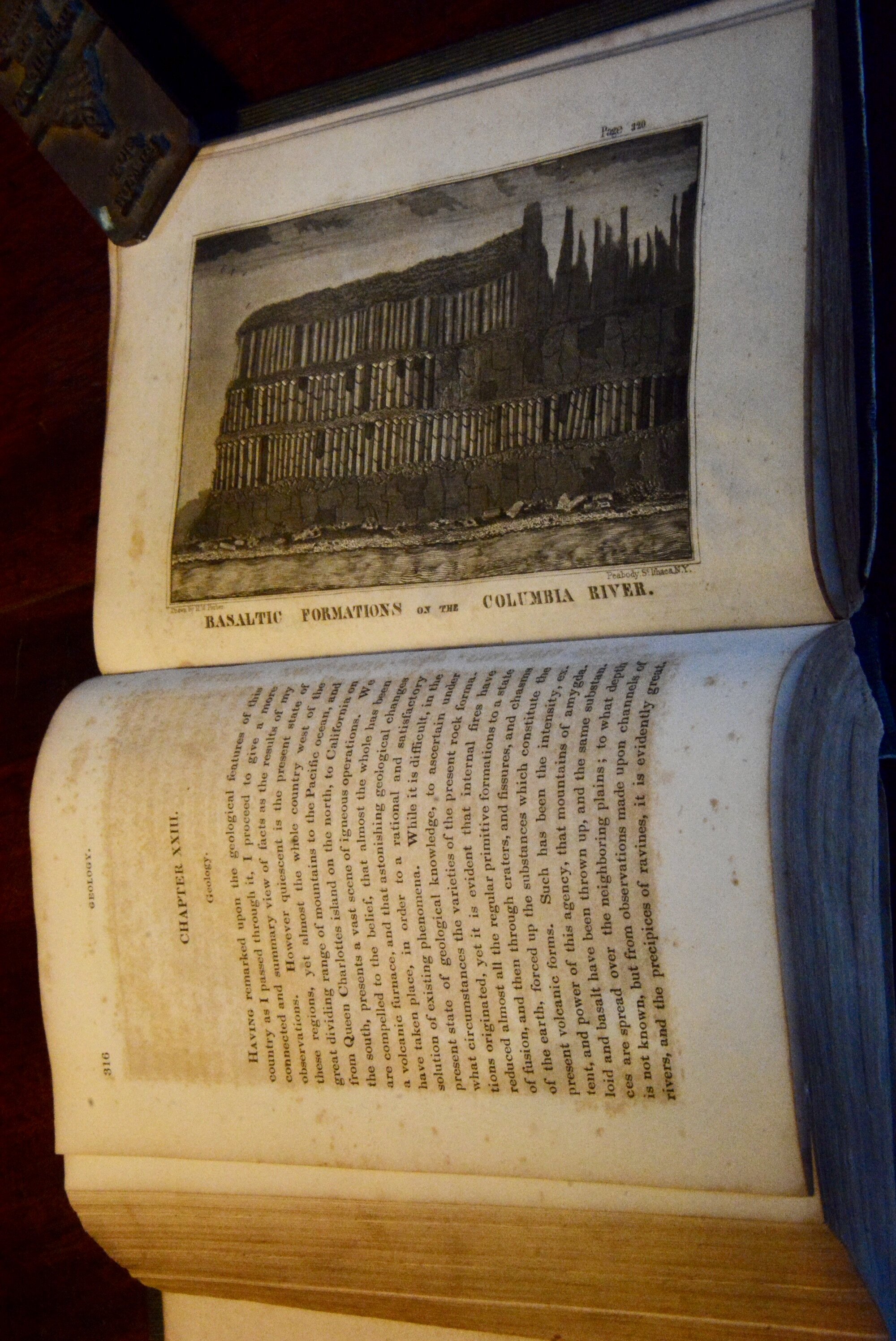
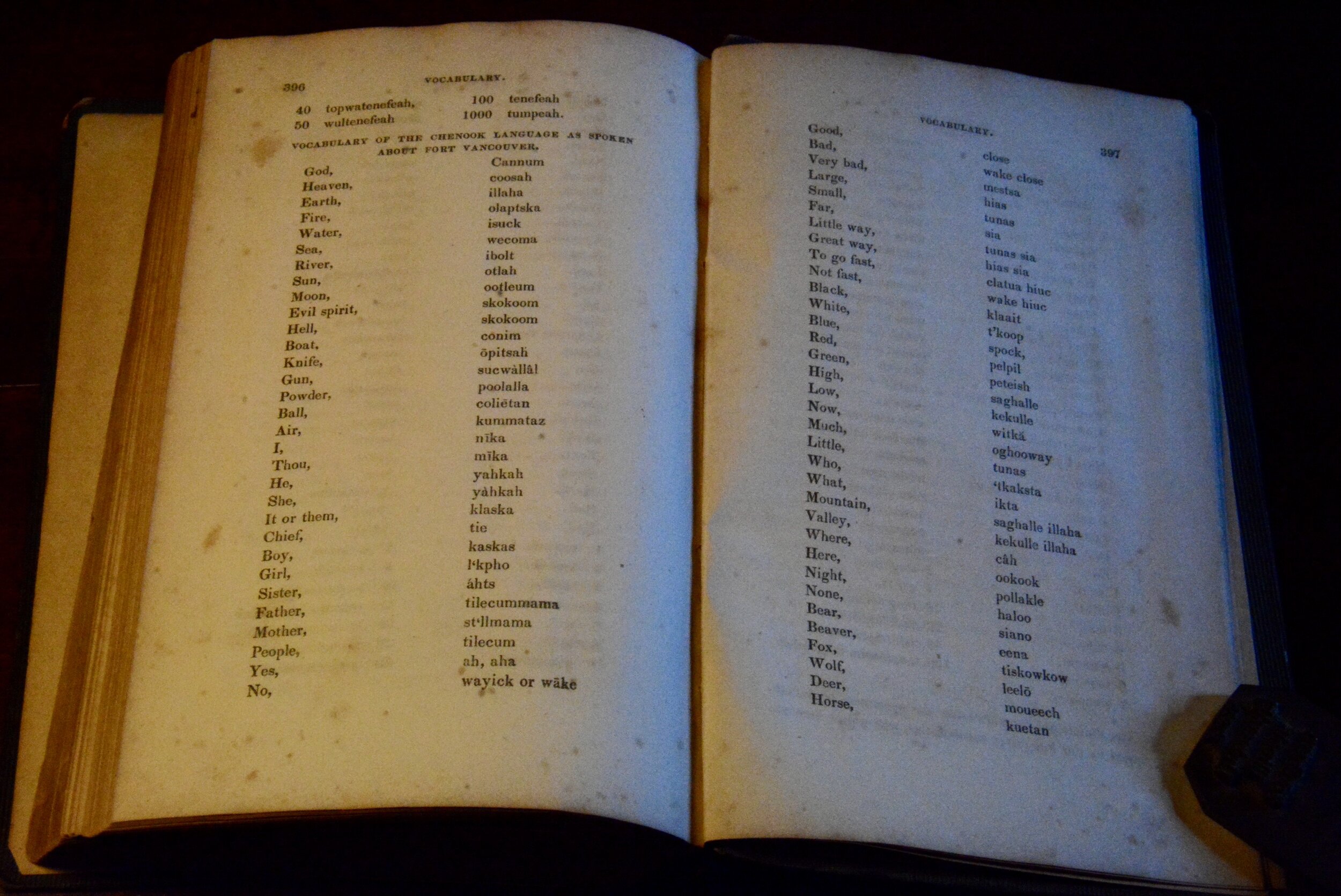
In addition to its map the book contains a glossary of native terminology with English equivalents, and various climatological data.